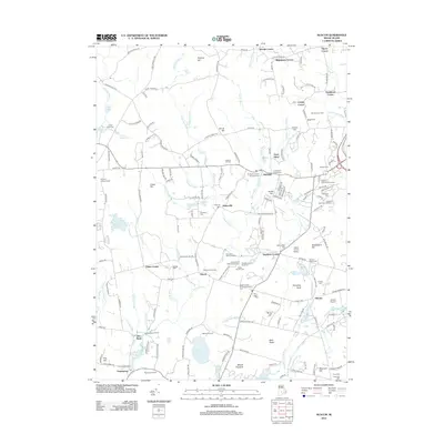
2012 Map of Slocum
USGS Topo · Published 2012About this map
Exeter and the surrounding rural villages of South County define this landscape, characterized by a complex network of small cemeteries and early industrial sites. The topography is shaped by the Queen River and Chipuxet River, which historically supported milling operations like the Kenyon Grist Mill near Usquepaug. Genealogists will find a high density of family burial grounds, including the Champlin-Greene Burial Ground, Briggs Cem, and the Slocum Sweet Cem, alongside the sprawling Rhode Island State Veteran Cem. Transport patterns are marked by the Amtrak corridor passing through Slocum, while community life centers on landmarks like the Old Baptist Church Yard and the Lafayette State Trout Hatchery. From the Yawgoo Valley Ski and Recreation Area to the Metcalf Wildlife Marsh, the area maintains its character as a mix of conservation land, small-scale agriculture at Narrow Lane Farm, and historic crossroads like Gardners Corner and Tripps Corner.
Find a feature on this map
187 named features on this map. Tap any name to fly to it.
Don’t see what you’re looking for? This feature index may not catch every label — zoom into the map to look around manually.
Map Details
Editions of this 2012 Slocum Map
This is the sole edition of this map. No revisions or reprints were ever made.
Other maps of this area

1889 · Charlestown
USGS Topo · 1:62,500

1889 · Newport
USGS Topo · 1:62,500

1890 · Narragansett Bay
USGS Topo · 1:62,500

1890 · Kent
USGS Topo · 1:62,500

1892 · Narragansett Bay
USGS Topo · 1:62,500

1894 · Kent
USGS Topo · 1:62,500

1894 · Newport
USGS Topo · 1:62,500

1904 · Newport
USGS Topo · 1:62,500

1919 · Charlestown
USGS Topo · 1:62,500

1919 · Narragansett Bay
USGS Topo · 1:62,500