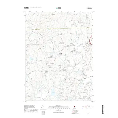
2018 Map of Slocum
USGS Topo · Published 2018About this map
Exeter and the surrounding Washington County countryside are defined by an intricate network of small family plots and burial grounds that reflect the long-standing agricultural roots of the region. Dozens of family names are etched into the landscape, from the Amos Whitford Plot and Samuel Arnold Plot to the Sunderland-Tarbox Plot. These small, scattered sites appear alongside established landmarks like the Old Baptist Church Yard and the Exeter School Cem, offering a dense resource for local genealogical research.
Find a feature on this map
219 named features on this map. Tap any name to fly to it.
Don’t see what you’re looking for? This feature index may not catch every label — zoom into the map to look around manually.
Map Details
Editions of this 2018 Slocum Map
This is the sole edition of this map. No revisions or reprints were ever made.
Other maps of this area

1889 · Charlestown
USGS Topo · 1:62,500

1889 · Newport
USGS Topo · 1:62,500

1890 · Narragansett Bay
USGS Topo · 1:62,500

1890 · Kent
USGS Topo · 1:62,500

1892 · Narragansett Bay
USGS Topo · 1:62,500

1894 · Kent
USGS Topo · 1:62,500

1894 · Newport
USGS Topo · 1:62,500

1904 · Newport
USGS Topo · 1:62,500

1919 · Charlestown
USGS Topo · 1:62,500

1919 · Narragansett Bay
USGS Topo · 1:62,500