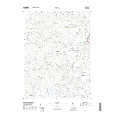
2021 Map of Slocum
USGS Topo · Published 2021About this map
Exeter and the surrounding South County landscape are defined by an exceptionally dense concentration of family burial lots and historic cemeteries, reflecting centuries of localized settlement. The area between Hopkins Hill and Wolf Rocks is dotted with scores of named plots, such as the Beriah Brown Cem and the Theophilus Whale Lot Cem, providing a detailed genealogical record of the region's early inhabitants. In the southern portion of the map, the Rhode Island Veterans Memorial Cem stands as a significant landmark near Slocum.
Find a feature on this map
265 named features on this map. Tap any name to fly to it.
Don’t see what you’re looking for? This feature index may not catch every label — zoom into the map to look around manually.
Map Details
Editions of this 2021 Slocum Map
This is the sole edition of this map. No revisions or reprints were ever made.
Other maps of this area

1889 · Charlestown
USGS Topo · 1:62,500

1889 · Newport
USGS Topo · 1:62,500

1890 · Narragansett Bay
USGS Topo · 1:62,500

1890 · Kent
USGS Topo · 1:62,500

1892 · Narragansett Bay
USGS Topo · 1:62,500

1894 · Kent
USGS Topo · 1:62,500

1894 · Newport
USGS Topo · 1:62,500

1904 · Newport
USGS Topo · 1:62,500

1919 · Charlestown
USGS Topo · 1:62,500

1919 · Narragansett Bay
USGS Topo · 1:62,500