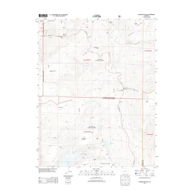
2013 Map of Slumgullion Pass
USGS Topo · Published 2013About this map
Slumgullion Pass and the surrounding high-altitude terrain define this 2013 survey of the San Juan Mountains. The landscape is dominated by the geological instability of the Slumgullion Earthflow and Slumgullion Slide, which significantly influence the local topography. This area is a critical junction for high-country recreation, where the Continental Divide National Scenic Trail NST traverses the Gunnison National Forest and Rio Grande National Forest.
Find a feature on this map
42 named features on this map. Tap any name to fly to it.
Don’t see what you’re looking for? This feature index may not catch every label — zoom into the map to look around manually.
Map Details
Editions of this 2013 Slumgullion Pass Map
This is the sole edition of this map. No revisions or reprints were ever made.
Other maps of this area

1903 · Lake City
USGS Topo · 1:62,500

1905 · Lake City
USGS Topo · 1:62,500

1905 · San Cristobal
USGS Topo · 1:125,000

1907 · San Cristobal
USGS Topo · 1:125,000

1908 · Uncompahgre
USGS Topo · 1:125,000

1911 · Uncompahgre
USGS Topo · 1:125,000

1945 · Durango
USGS Topo · 1:250,000

1953 · Durango
USGS Topo · 1:250,000

1954 · Durango
USGS Topo · 1:250,000

1956 · Montrose
USGS Topo · 1:250,000