
1944 Map of Small Point
USGS Topo · Published 1944About this map
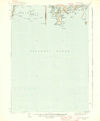
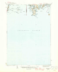
The rocky peninsulas and intricate island chains of Harpswell and Phippsburg dominate this coastal survey, conducted just as the nation entered the Second World War. The landscape is defined by its maritime orientation, where the Atlantic Ocean carves out deep-water inlets like Atkins Bay and Stage Island Bay. Land travel is channeled along narrow fingers of land reaching toward the sea, terminating at established coastal outposts like Popham Beach and Small Point.
Find a feature on this map
65 named features on this map. Tap any name to fly to it.
Don’t see what you’re looking for? This feature index may not catch every label — zoom into the map to look around manually.
Map Details
Editions of this 1944 Small Point Map
3 editions found
Other maps of this area

1892 · Freeport
USGS Topo · 1:62,500

1893 · Small Point
USGS Topo · 1:62,500

1893 · Casco Bay
USGS Topo · 1:62,500

1893 · Boothbay
USGS Topo · 1:62,500

1894 · Bath
USGS Topo · 1:62,500

1914 · Casco Bay
USGS Topo · 1:48,000

1916 · Casco Bay
USGS Topo · 1:62,500

1916 · Portland And Vicinity
USGS Topo · 1:62,500

1918 · Portland And Vicinity
USGS Topo · 1:62,500

1919 · Small Point
USGS Topo · 1:62,500