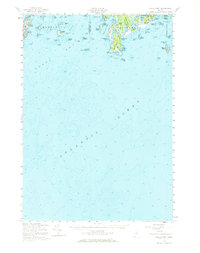
1957 Map of Small Point
USGS Topo · Published 1969About this map
Coastal defenses and maritime activity define this mid-century survey of the Kennebec River's mouth. At the eastern edge, US Mil Res Fort Baldwin and Port Baldwin overlook the strategic waters of Atkins Bay, while the village of Popham Beach sits tucked behind the dunes of Hunnewell Beach. The map details a complex landscape of tidal inlets and freshwater features, such as Silver Lake and Spirit Pond, alongside evidence of historical industry at Mill Pt.
Find a feature on this map
83 named features on this map. Tap any name to fly to it.
Don’t see what you’re looking for? This feature index may not catch every label — zoom into the map to look around manually.
Map Details
Editions of this 1957 Small Point Map
4 editions found
Other maps of this area

1892 · Freeport
USGS Topo · 1:62,500

1893 · Small Point
USGS Topo · 1:62,500

1893 · Casco Bay
USGS Topo · 1:62,500

1893 · Boothbay
USGS Topo · 1:62,500

1894 · Bath
USGS Topo · 1:62,500

1914 · Casco Bay
USGS Topo · 1:48,000

1916 · Casco Bay
USGS Topo · 1:62,500

1916 · Portland And Vicinity
USGS Topo · 1:62,500

1918 · Portland And Vicinity
USGS Topo · 1:62,500

1919 · Small Point
USGS Topo · 1:62,500