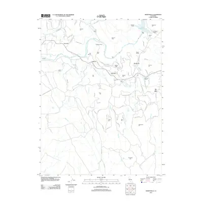
2021 Map of Smartsville
USGS Topo · Published 2021About this map
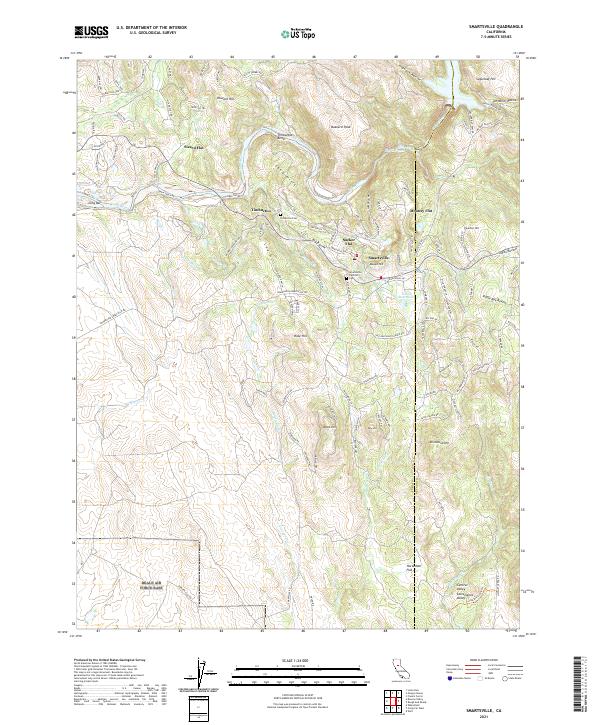
The Yuba River carves a dramatic path through this Gold Country landscape, winding past the Timbuctoo Bend and through the steep canyon walls of The Narrows. This modern survey documents the historic mining geography along the Yuba and Nevada County line, where the legacy of 19th-century hydraulic mining remains visible in the numerous flats and ravines. The map meticulously plots small settlements like Smartsville and Timbuctoo, along with genealogical landmarks such as the Timbuctoo Cem and Smartsville Catholic Cem.
Find a feature on this map
67 named features on this map. Tap any name to fly to it.
Don’t see what you’re looking for? This feature index may not catch every label — zoom into the map to look around manually.
Map Details
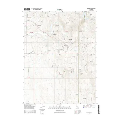
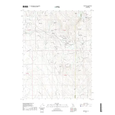
Editions of this 2021 Smartsville Map
This is the sole edition of this map. No revisions or reprints were ever made.
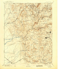
Historical Maps of Smartsville Through Time
9 maps found