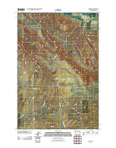
2011 Map of Smeltz
USGS Topo · Published 2011About this map
Vansycle and Smeltz anchor this agricultural section of northern Umatilla County, where a network of county roads follows the high plateaus and creek beds. The landscape is defined by the winding course of Greasewood Creek and the sharp incisions of Raymond Gulch. Named for the early local families who established these dryland wheat and livestock outposts, locations like Apex and Fruit Spring reflect a period when small rural hubs were essential to the county's ranching economy. The map traces several arterial routes that follow the natural topography, including Vansycle Rd and the high-elevation Butler Grade Rd. Genealogists and local historians will find value in the specific road names like Kupers Rd and Gerkins Flat Rd, which document the long-standing land ownership and development patterns of this high desert region.
Find a feature on this map
22 named features on this map. Tap any name to fly to it.
Don’t see what you’re looking for? This feature index may not catch every label — zoom into the map to look around manually.
Map Details
Editions of this 2011 Smeltz Map
This is the sole edition of this map. No revisions or reprints were ever made.
Other maps of this area

1915 · Wallulah
USGS Topo · 1:96,000

1918 · Wallula
USGS Topo · 1:125,000

1935 · Pendleton
USGS Topo · 1:125,000

1953 · Pendleton
USGS Topo · 1:250,000

1953 · Walla Walla
USGS Topo · 1:250,000

1956 · Pendleton
USGS Topo · 1:250,000

1958 · Walla Walla
USGS Topo · 1:250,000

1964 · Zangar Junction
USGS Topo · 1:24,000
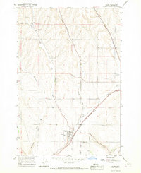
1966 · Adams
USGS Topo · 1:24,000
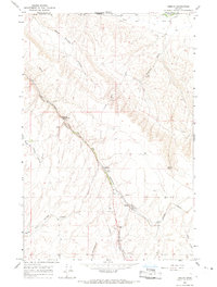
1966 · Smeltz
USGS Topo · 1:24,000