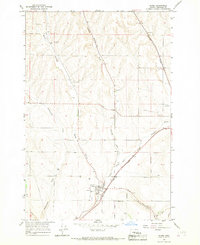
1966 Map of Adams
USGS Topo · Published 1967About this map
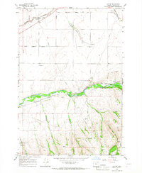
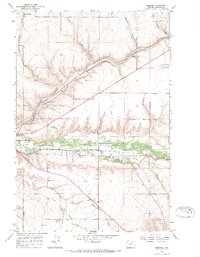
Adams serves as the focal point for this mid-1960s survey, where the Northern Pacific and Union Pacific rail lines converge along the path of Wildhorse Creek. The settlement pattern reflects the agricultural and transport-oriented development of Umatilla County, evidenced by several Storage Bins and a Quarry near the village. To the southeast, the Umatilla Indian Reservation Boundary cuts across the landscape, marking a significant legal and historical demarcation.
Find a feature on this map
20 named features on this map. Tap any name to fly to it.
Don’t see what you’re looking for? This feature index may not catch every label — zoom into the map to look around manually.
Map Details
Editions of this 1966 Adams Map
This is the sole edition of this map. No revisions or reprints were ever made.
Other maps of this area

1935 · Pendleton
USGS Topo · 1:125,000

1953 · Pendleton
USGS Topo · 1:250,000

1956 · Pendleton
USGS Topo · 1:250,000
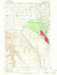
1964 · Milton-Freewater
USGS Topo · 1:24,000
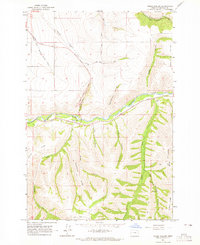
1964 · Thorn Hollow
USGS Topo · 1:24,000
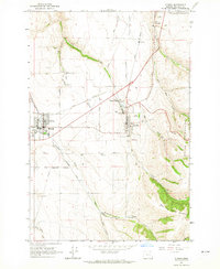
1964 · Athena
USGS Topo · 1:24,000

1966 · Smeltz
USGS Topo · 1:24,000
1966 · Cayuse
USGS Topo · 1:24,000
1966 · Mission
USGS Topo · 1:24,000

1966 · Waterman
USGS Topo · 1:24,000