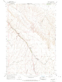
1966 Map of Smeltz
USGS Topo · Published 1967About this map
The Northern Pacific railroad cuts a diagonal path through the undulating terrain of Umatilla County, following the natural contours of Vansycle Canyon. This 1960s landscape is defined by its agricultural infrastructure and dry-land water features, where small clusters of settlement like Vansycle and Stanton appear as critical transit points. At both locations, the presence of a Grain Elevator underscores the region's reliance on rail for moving harvest from the surrounding plateau.
Find a feature on this map
25 named features on this map. Tap any name to fly to it.
Don’t see what you’re looking for? This feature index may not catch every label — zoom into the map to look around manually.
Map Details
Editions of this 1966 Smeltz Map
This is the sole edition of this map. No revisions or reprints were ever made.
Other maps of this area

1915 · Wallulah
USGS Topo · 1:96,000

1918 · Wallula
USGS Topo · 1:125,000

1935 · Pendleton
USGS Topo · 1:125,000

1953 · Pendleton
USGS Topo · 1:250,000

1953 · Walla Walla
USGS Topo · 1:250,000

1956 · Pendleton
USGS Topo · 1:250,000

1958 · Walla Walla
USGS Topo · 1:250,000

1964 · Zangar Junction
USGS Topo · 1:24,000
1966 · Adams
USGS Topo · 1:24,000

1966 · Holdman SE
USGS Topo · 1:24,000