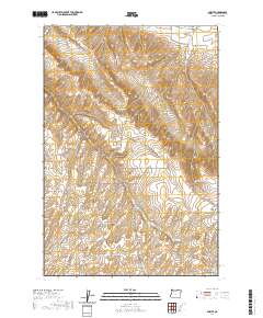
2020 Map of Smeltz
USGS Topo · Published 2020About this map
Walla Walla Valley terrain defines this section of Umatilla County, where a complex network of canyons and gulches drain the plateau toward the north. The topographic detail reveals the sharp relief of North Fork Juniper Canyon and South Fork Juniper Canyon, alongside the winding path of Greasewood Cr. This 2020 record of the landscape shows how modern section-line roads, such as Stateline Rd and Co 717 Rd, have been laid over the natural contours to support the region's agricultural use.
Find a feature on this map
33 named features on this map. Tap any name to fly to it.
Don’t see what you’re looking for? This feature index may not catch every label — zoom into the map to look around manually.
Map Details
Editions of this 2020 Smeltz Map
This is the sole edition of this map. No revisions or reprints were ever made.
Other maps of this area

1915 · Wallulah
USGS Topo · 1:96,000

1918 · Wallula
USGS Topo · 1:125,000

1935 · Pendleton
USGS Topo · 1:125,000

1953 · Pendleton
USGS Topo · 1:250,000

1953 · Walla Walla
USGS Topo · 1:250,000

1956 · Pendleton
USGS Topo · 1:250,000

1958 · Walla Walla
USGS Topo · 1:250,000

1964 · Zangar Junction
USGS Topo · 1:24,000
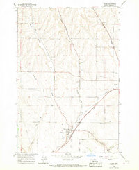
1966 · Adams
USGS Topo · 1:24,000
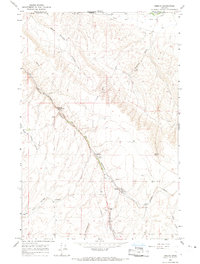
1966 · Smeltz
USGS Topo · 1:24,000