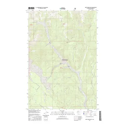
2017 Map of Smith Creek Butte
USGS Topo · Published 2017About this map
Gifford Pinchot National Forest dominates this landscape, showing the complex drainage systems and geological formations of the Washington Cascades in the years following the 1980 eruption of Mount St. Helens. The Muddy River carves through the center of the map, forming the dramatic Muddy River Gorge and Lava Canyon, where the river drops toward Pine Cr. To the north, Ape Canyon and Smith Creek Butte provide prominent vertical relief. The map documents an extensive network of Forest Service roads, such as Nat For Dev Rd 25 and Nat For Dev Rd 83, which provide access to this volcanic terrain. These routes trace the ridges and valley floors alongside water bodies like Clearwater Cr and the secluded Paradise Falls, illustrating how modern forestry and recreation infrastructure navigate the area's steep topography.
Find a feature on this map
28 named features on this map. Tap any name to fly to it.
Don’t see what you’re looking for? This feature index may not catch every label — zoom into the map to look around manually.
Map Details
Editions of this 2017 Smith Creek Butte Map
This is the sole edition of this map. No revisions or reprints were ever made.
Other maps of this area

1919 · Mount St Helens
USGS Topo · 1:125,000

1926 · Steamboat Mtn
USGS Topo · 1:125,000

1931 · Steamboat Mtn
USGS Topo · 1:125,000

1950 · Yakima
USGS Topo · 1:250,000

1953 · Hoquiam
USGS Topo · 1:250,000

1957 · Hoquiam
USGS Topo · 1:250,000

1957 · Spirit Lake
USGS Topo · 1:62,500

1958 · Mt St. Helens
USGS Topo · 1:62,500

1958 · Yakima
USGS Topo · 1:250,000

1958 · Hoquiam
USGS Topo · 1:250,000