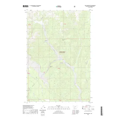
2020 Map of Smith Creek Butte
USGS Topo · Published 2020About this map
The Gifford Pinchot National Forest dominates this volcanic landscape, where the aftermath of geological activity is written into the terrain. Deeply incised drainages like Ape Canyon and Lava Canyon define the topography, cutting through volcanic deposits to reach the Muddy River and Smith Creek. The map documents a complex system of water and elevation, notably the sheer drop at Paradise Falls and the steep walls of the Muddy River Gorge.
Find a feature on this map
22 named features on this map. Tap any name to fly to it.
Don’t see what you’re looking for? This feature index may not catch every label — zoom into the map to look around manually.
Map Details
Editions of this 2020 Smith Creek Butte Map
This is the sole edition of this map. No revisions or reprints were ever made.
Other maps of this area

1919 · Mount St Helens
USGS Topo · 1:125,000

1926 · Steamboat Mtn
USGS Topo · 1:125,000

1931 · Steamboat Mtn
USGS Topo · 1:125,000

1950 · Yakima
USGS Topo · 1:250,000

1953 · Hoquiam
USGS Topo · 1:250,000

1957 · Hoquiam
USGS Topo · 1:250,000

1957 · Spirit Lake
USGS Topo · 1:62,500

1958 · Mt St. Helens
USGS Topo · 1:62,500

1958 · Yakima
USGS Topo · 1:250,000

1958 · Hoquiam
USGS Topo · 1:250,000