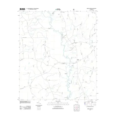
2012 Map of Smith Creek
USGS Topo · Published 2012About this map
The Ochlockonee River defines the central spine of this landscape, a meandering waterway that has long shaped the settlement and recreation of the region. Dozens of landings and camps punctuate the riverbanks, including Blazed Pine Landing, Upper Langston Landing, and Lower Langston Landing, reflecting a river-based economy and culture. The settlement of Smith Creek serves as a local hub near the eastern edge, connected by a network of forest roads such as Alton Rd and Langston Rd.
Find a feature on this map
57 named features on this map. Tap any name to fly to it.
Don’t see what you’re looking for? This feature index may not catch every label — zoom into the map to look around manually.
Map Details
Editions of this 2012 Smith Creek Map
This is the sole edition of this map. No revisions or reprints were ever made.
Other maps of this area

1943 · Lake Talquin
USGS Topo · 1:62,500

1944 · Queens Bay
USGS Topo · 1:24,000

1945 · Thousand Yard Bay
USGS Topo · 1:31,680

1945 · Smith Creek
USGS Topo · 1:31,680

1945 · Bradwell Bay
USGS Topo · 1:31,680

1945 · Sanborn
USGS Topo · 1:31,680

1945 · Telogia
USGS Topo · 1:24,000

1946 · Queens Bay
USGS Topo · 1:31,680

1946 · Telogia
USGS Topo · 1:31,680

1946 · Owens Bridge
USGS Topo · 1:31,680