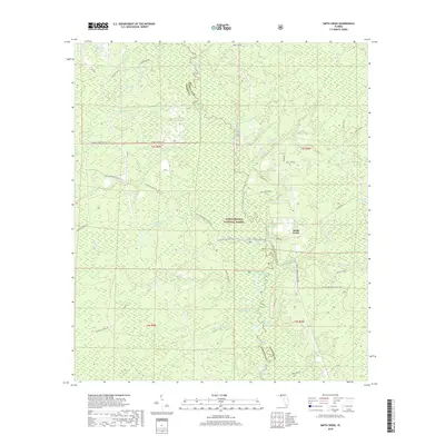
2018 Map of Smith Creek
USGS Topo · Published 2018About this map
The Ochlockonee River defines the central spine of this landscape as it meanders through the heart of the Apalachicola National Forest. This 2018 survey captures the interface of Liberty and Wakulla Counties, centered on the small settlement of Smith Creek. The area is characterized by an intricate network of wetlands, including named "bays" such as Bradwell Bay, Tin Top Bay, Stallion Bay, and Preachers Bay. These features represent the low-lying, often inundated swamp forests typical of the Florida Panhandle's coastal plain.
Find a feature on this map
61 named features on this map. Tap any name to fly to it.
Don’t see what you’re looking for? This feature index may not catch every label — zoom into the map to look around manually.
Map Details
Editions of this 2018 Smith Creek Map
This is the sole edition of this map. No revisions or reprints were ever made.
Other maps of this area

1943 · Lake Talquin
USGS Topo · 1:62,500

1944 · Queens Bay
USGS Topo · 1:24,000

1945 · Thousand Yard Bay
USGS Topo · 1:31,680

1945 · Smith Creek
USGS Topo · 1:31,680

1945 · Bradwell Bay
USGS Topo · 1:31,680

1945 · Sanborn
USGS Topo · 1:31,680

1945 · Telogia
USGS Topo · 1:24,000

1946 · Queens Bay
USGS Topo · 1:31,680

1946 · Telogia
USGS Topo · 1:31,680

1946 · Owens Bridge
USGS Topo · 1:31,680