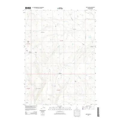
2013 Map of Smith Creek
USGS Topo · Published 2013About this map
Star Ranch and the isolated outpost of Craig Camp anchor this landscape in Owyhee County, where cattle ranching and seasonal grazing define the terrain. The topography is deeply incised by drainages such as Little Smith Cr and Thomas Cr, which feed into the broader watershed. Notable landmarks like The Monuments and Juniper Mtn rise above the complex network of springs and canyons, including East Fork Red Canyon. Evidence of early overland movement is found along the Grasshopper Trl, which skirts Smith Meadow to the north. The area's reliance on water management is visible at Star Reservoir, providing a crucial resource in the high country between Bull Basin and Twin Springs Ridge. This map is essential for tracing the spatial relationship between remote homesteads and the natural water sources that made them viable.
Find a feature on this map
53 named features on this map. Tap any name to fly to it.
Don’t see what you’re looking for? This feature index may not catch every label — zoom into the map to look around manually.
Map Details
Editions of this 2013 Smith Creek Map
This is the sole edition of this map. No revisions or reprints were ever made.
Other maps of this area

1955 · Jordan Valley
USGS Topo · 1:250,000

1957 · Jordan Valley
USGS Topo · 1:250,000

1958 · Jordan Valley
USGS Topo · 1:250,000

1973 · Red Basin
USGS Topo · 1:24,000

1973 · Smith Creek
USGS Topo · 1:24,000

1973 · Bedstead Ridge
USGS Topo · 1:24,000

1973 · Castro Table
USGS Topo · 1:24,000

1973 · Pleasant Valley
USGS Topo · 1:24,000

1973 · Fairylawn
USGS Topo · 1:24,000

1973 · Brace Flat
USGS Topo · 1:24,000