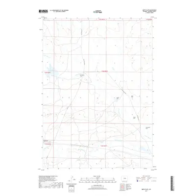
2017 Map of Smith Flats
USGS Topo · Published 2017About this map
Bucknum and the surrounding high plains of Natrona County are defined by a network of drainage draws and ranch roads in this recent topographic study. The landscape is carved by the N Fork Casper Cr and Middle Fork Casper Cr, with the terrain falling away into named features like Hemingway Draw and Twentymile Draw. These ephemeral waterways dictate the positioning of rural infrastructure, including Gowin-Kesecker Lake in the northwest.
Find a feature on this map
19 named features on this map. Tap any name to fly to it.
Don’t see what you’re looking for? This feature index may not catch every label — zoom into the map to look around manually.
Map Details
Editions of this 2017 Smith Flats Map
This is the sole edition of this map. No revisions or reprints were ever made.
Other maps of this area

1950 · Emigrant Gap NE
USGS Topo · 1:24,000

1951 · Emigrant Gap NW
USGS Topo · 1:24,000

1952 · Bishop
USGS Topo · 1:24,000

1955 · Arminto
USGS Topo · 1:250,000

1955 · Casper
USGS Topo · 1:250,000

1958 · Casper
USGS Topo · 1:250,000

1958 · Arminto
USGS Topo · 1:250,000
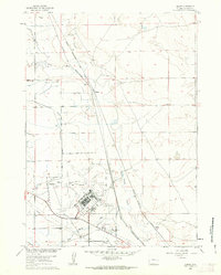
1960 · Bishop
USGS Topo · 1:24,000
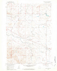
1960 · Emigrant Gap NE
USGS Topo · 1:24,000

1962 · Arminto
USGS Topo · 1:250,000