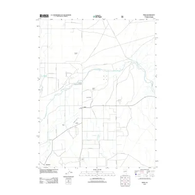
2012 Map of Smith
USGS Topo · Published 2012About this map
West Walker River winds through the heart of Smith Valley, defining the agricultural and logistical landscape of this Nevada basin. The map reveals a community organized around family-run landholdings, featuring the Norman Brown Ranch, Wilson Ranch, and Saroni Ranch. The small settlement of Smith serves as a central hub, anchored by the Smith Post Office and the nearby Hillcrest Cemetery.
Find a feature on this map
46 named features on this map. Tap any name to fly to it.
Don’t see what you’re looking for? This feature index may not catch every label — zoom into the map to look around manually.
Map Details
Editions of this 2012 Smith Map
This is the sole edition of this map. No revisions or reprints were ever made.
Other maps of this area

1891 · Wellington
USGS Topo · 1:125,000

1893 · Wellington
USGS Topo · 1:125,000

1948 · Walker Lake
USGS Topo · 1:250,000

1956 · Desert Creek Peak
USGS Topo · 1:62,500

1957 · Walker Lake
USGS Topo · 1:250,000

1957 · Wellington
USGS Topo · 1:62,500

1957 · Yerington
USGS Topo · 1:62,500

1958 · Pine Grove Hills
USGS Topo · 1:62,500

1962 · Walker Lake
USGS Topo · 1:250,000

1964 · Walker Lake
USGS Topo · 1:250,000