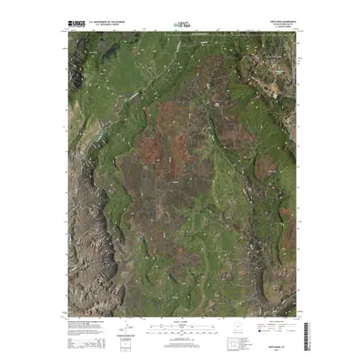
2014 Map of Smith Mesa
USGS Topo · Published 2014About this map
Zion National Park occupies the northern reaches of this Washington County landscape, where the Lower Kolob Plateau meets the sheer verticality of the Hurricane Cliffs. The geography is defined by high tablelands and the drainage networks of La Verkin Cr and Dry Cr. Centrally located, Smith Mesa dominates the terrain, accessible by the winding path of Mesa Rd. This 2014 survey reveals the complex drainage patterns feeding into the Virgin River system, including Black Wash and N Cr at the southern edge. Researchers will find interest in localized water sources such as Rock Spring and Lamareaux Tank, which historically supported livestock and early passage through this arid environment. The transition from Cave Valley to the prominent Hurricane Mesa illustrates the dramatic uplift and erosion characteristic of the Colorado Plateau's western margin.
Find a feature on this map
25 named features on this map. Tap any name to fly to it.
Don’t see what you’re looking for? This feature index may not catch every label — zoom into the map to look around manually.
Map Details
Editions of this 2014 Smith Mesa Map
This is the sole edition of this map. No revisions or reprints were ever made.
Other maps of this area

1885 · St. George
USGS Topo · 1:250,000

1891 · St. George
USGS Topo · 1:250,000

1953 · Cedar City
USGS Topo · 1:250,000

1954 · La Verkin 4 NW
USGS Topo · 1:24,000

1954 · La Verkin 3 NE
USGS Topo · 1:24,000

1954 · La Verkin 1 SW
USGS Topo · 1:24,000

1954 · La Verkin 2 SE
USGS Topo · 1:24,000

1954 · Hurricane
USGS Topo · 1:62,500

1957 · New Harmony
USGS Topo · 1:62,500

1958 · Cedar City
USGS Topo · 1:250,000