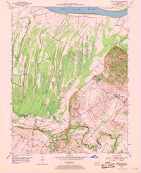
1952 Map of Smith Mills
USGS Topo · Published 1969About this map
Oil Wells dot the landscape across the Henderson and Union county lines in this mid-century look at the Ohio River bottoms. The settlement of Smith Mills serves as a primary hub on the eastern side of the quadrangle, supported by local landmarks like Smith Mills Cem and the St Francis Ch. The terrain transitions from the low, marshy wetlands defined by Hogan Slough and Mill Pond Slough near the Ohio River to the more prominent Cabell Hills further inland.
Find a feature on this map
21 named features on this map. Tap any name to fly to it.
Don’t see what you’re looking for? This feature index may not catch every label — zoom into the map to look around manually.
Map Details
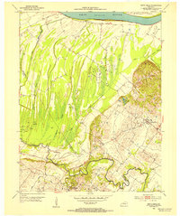
Editions of this 1952 Smith Mills Map
2 editions found
Other maps of this area

1906 · Sebree
USGS Topo · 1:62,500

1907 · Morganfield
USGS Topo · 1:62,500

1914 · Henderson
USGS Topo · 1:48,000

1916 · Henderson
USGS Topo · 1:62,500

1917 · Uniontown
USGS Topo · 1:62,500

1949 · Morganfield
USGS Topo · 1:24,000

1949 · Poole
USGS Topo · 1:24,000

1951 · Poole
USGS Topo · 1:24,000

1951 · Waverly
USGS Topo · 1:24,000
1951 · Morganfield
USGS Topo · 1:24,000