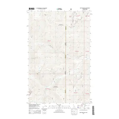
2013 Map of Smith Mountain
USGS Topo · Published 2013About this map
Kootenai National Forest dominates this mountain landscape along the high border between Idaho and Montana. The 2013 survey illustrates a high-altitude wilderness defined by the Kaniksu NF Kootenai Nat For and the prominent peaks of Smith Mtn and Roberts Mtn. A network of forest management routes, including Natl Forest Develop Road 427 Rd, provides access to remote points like the Smith Patrol Lookout. The drainage pattern is complex, with Callahan Cr and its northern and southern forks carving deep through the terrain. High-elevation water bodies such as Smith Lake and Lake Estelle are tucked away in the southern reaches, representing the typical alpine hydrology of the northern Cabinet Mountains. The map clearly delineates the administrative boundary where Bonner Co meets Lincoln County at the state line.
Find a feature on this map
27 named features on this map. Tap any name to fly to it.
Don’t see what you’re looking for? This feature index may not catch every label — zoom into the map to look around manually.
Map Details
Editions of this 2013 Smith Mountain Map
This is the sole edition of this map. No revisions or reprints were ever made.
Other maps of this area

1911 · Priest Lake
USGS Topo · 1:250,000

1913 · Priest Lake
USGS Topo · 1:250,000

1920 · Libby
USGS Topo · 1:125,000

1930 · Libby
USGS Topo · 1:125,000

1932 · Libby
USGS Topo · 1:125,000

1951 · Mt Pend Oreille
USGS Topo · 1:62,500

1957 · Kalispell
USGS Topo · 1:250,000

1958 · Sandpoint
USGS Topo · 1:250,000

1960 · Kalispell
USGS Topo · 1:250,000

1961 · Kalispell
USGS Topo · 1:250,000