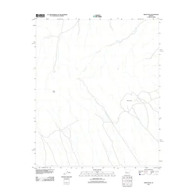
2011 Map of Smith Peak
USGS Topo · Published 2011About this map
Smith Peak and Bullard Peak dominate this arid landscape in Maricopa County, reflecting the sparse, high-desert character of the region. The drainage patterns are defined by the extensive reaches of Miller Wash, which bisects the quadrangle as it carries seasonal runoff through the basin. Human presence is limited to a skeletal network of desert transit, primarily marked by the alignment of Alamo Rd and Co Rd in the southern portion of the sheet. This map reveals a terrain primarily shaped by natural topography rather than intensive settlement, providing a clear record of the area's geological features and primitive road access as they existed in the early twenty-first century.
Find a feature on this map
5 named features on this map. Tap any name to fly to it.
Don’t see what you’re looking for? This feature index may not catch every label — zoom into the map to look around manually.
Map Details
Editions of this 2011 Smith Peak Map
This is the sole edition of this map. No revisions or reprints were ever made.
Other maps of this area

1923 · Signal
USGS Topo · 1:250,000

1942 · Signal
USGS Topo · 1:250,000

1942 · Vicksburg
USGS Topo · 1:250,000

1950 · Prescott
USGS Topo · 1:250,000

1954 · Prescott
USGS Topo · 1:250,000

1954 · Phoenix
USGS Topo · 1:250,000

1957 · Phoenix
USGS Topo · 1:250,000

1958 · Prescott
USGS Topo · 1:250,000

1958 · Phoenix
USGS Topo · 1:250,000

1959 · Prescott
USGS Topo · 1:250,000