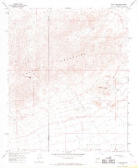
1967 Map of Smith Peak
USGS Topo · Published 1969About this map
The Harcuvar Mountains dominate the northern half of this landscape, descending sharply into the wide, arid floor of the Aguila Valley. This 1960s survey documents a region defined by its isolation and small-scale resource extraction. Evidence of mining activity is scattered across the slopes, including the Bullard Mine and a lone Prospect near the valley floor. Transportation is limited to a network of Jeep Trails that navigate the washes and ridges, connecting remote sites like Bullard Peak and Smith Peak.
Find a feature on this map
18 named features on this map. Tap any name to fly to it.
Don’t see what you’re looking for? This feature index may not catch every label — zoom into the map to look around manually.
Map Details
Editions of this 1967 Smith Peak Map
This is the sole edition of this map. No revisions or reprints were ever made.
Other maps of this area

1923 · Signal
USGS Topo · 1:250,000

1942 · Signal
USGS Topo · 1:250,000

1942 · Vicksburg
USGS Topo · 1:250,000

1950 · Prescott
USGS Topo · 1:250,000

1954 · Prescott
USGS Topo · 1:250,000

1954 · Phoenix
USGS Topo · 1:250,000

1957 · Phoenix
USGS Topo · 1:250,000

1958 · Prescott
USGS Topo · 1:250,000

1958 · Phoenix
USGS Topo · 1:250,000

1959 · Prescott
USGS Topo · 1:250,000