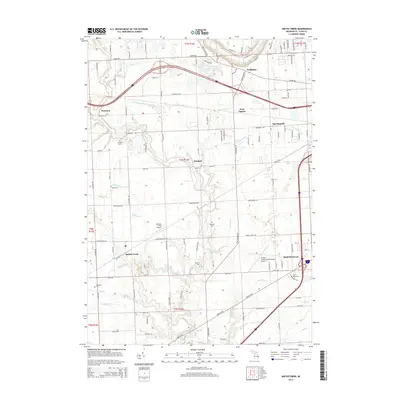
2014 Map of Smiths Creek
USGS Topo · Published 2014About this map
Pine River and the Black River define the drainage of this Saint Clair County landscape, which transitions from the industrial outskirts of Marysville to the agricultural lands of Kimball and Smiths Creek. The area is characterized by an extensive network of drainage infrastructure, including named features such as Scheffle Drain, Burdie Drain, and Hickory Street Drain, which reflect the historical engineering required to manage the low-lying terrain for farming and settlement. Smaller communities like Sparlingville, Wadhams, and Thornton are linked by a grid of rural roads and the crossing of major transit corridors.
Find a feature on this map
133 named features on this map. Tap any name to fly to it.
Don’t see what you’re looking for? This feature index may not catch every label — zoom into the map to look around manually.
Map Details
Editions of this 2014 Smiths Creek Map
This is the sole edition of this map. No revisions or reprints were ever made.
Other maps of this area

1912 · Port Huron
USGS Topo · 1:62,500

1928 · Hicky
USGS Topo · 1:62,500

1929 · Port Huron
USGS Topo · 1:62,500

1936 · St. Clair
USGS Topo · 1:31,680

1936 · Rattle Run
USGS Topo · 1:31,680

1939 · Adair
USGS Topo · 1:24,000

1939 · Port Huron
USGS Topo · 1:24,000

1939 · St. Clair
USGS Topo · 1:24,000

1939 · Smiths Creek
USGS Topo · 1:24,000

1939 · Goodells
USGS Topo · 1:24,000