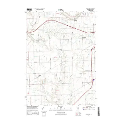
2017 Map of Smiths Creek
USGS Topo · Published 2017About this map
Thornton and Wadhams anchor the northern reaches of this Saint Clair County landscape, where the Black River flows near the eastern edge. The area is defined by an extensive network of drainage systems, including the Nelson Drain, Mallory Drain, and Holland Drain, reflecting the complex water management required for this part of Michigan. For those researching family history, numerous burial grounds are situated throughout the township, such as Caswell Cem and Bartlett Cem. The southern portion of the map is dominated by the community of Smiths Creek, located along the waterway of the same name. Industrial and transportation infrastructure is prominent toward the east, where the St Clair County International Airport sits adjacent to the developing outskirts of Marysville.
Find a feature on this map
63 named features on this map. Tap any name to fly to it.
Don’t see what you’re looking for? This feature index may not catch every label — zoom into the map to look around manually.
Map Details
Editions of this 2017 Smiths Creek Map
This is the sole edition of this map. No revisions or reprints were ever made.
Other maps of this area

1912 · Port Huron
USGS Topo · 1:62,500

1928 · Hicky
USGS Topo · 1:62,500

1929 · Port Huron
USGS Topo · 1:62,500

1936 · St. Clair
USGS Topo · 1:31,680

1936 · Rattle Run
USGS Topo · 1:31,680

1939 · Adair
USGS Topo · 1:24,000

1939 · Port Huron
USGS Topo · 1:24,000

1939 · St. Clair
USGS Topo · 1:24,000

1939 · Smiths Creek
USGS Topo · 1:24,000

1939 · Goodells
USGS Topo · 1:24,000