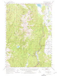
1953 Map of Smiths Ferry
USGS Topo · Published 1976About this map
The Payette River carves a deep path through the Boise National Forest in this mid-century survey, defining the industrial and transportation corridor of the region. The Union Pacific railroad tracks hug the riverbank, connecting small mountain settlements like Smiths Ferry and Cabarton to the wider state. The map records the early footprint of the Cascade Reservoir near the northern border, including the Cascade Airport, where blue hatching indicates areas subject to controlled inundation. Higher elevations are marked by remote landmarks such as Snowbank Mtn and Wilson Peak, with various pack trails like the Stock Trail and Wilson Trail winding through the timber. For local historians, the sheet identifies rural educational landmarks including the Lower Alpha School and Round Valley School, reflecting the changing settlement patterns as the mid-20th century progressed.
Find a feature on this map
64 named features on this map. Tap any name to fly to it.
Don’t see what you’re looking for? This feature index may not catch every label — zoom into the map to look around manually.
Map Details
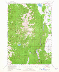
Editions of this 1953 Smiths Ferry Map
3 editions found
Other maps of this area

1894 · Squaw Creek
USGS Topo · 1:125,000

1909 · Garden Valley
USGS Topo · 1:125,000

1911 · Meadows
USGS Topo · 1:125,000

1953 · Smiths Ferry
USGS Topo · 1:62,500

1953 · Boiling Springs
USGS Topo · 1:62,500

1953 · Banks
USGS Topo · 1:62,500

1954 · Gold Fork
USGS Topo · 1:62,500

1954 · Council
USGS Topo · 1:62,500

1954 · Cascade
USGS Topo · 1:62,500

1955 · Baker
USGS Topo · 1:250,000