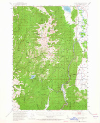
1953 Map of Smiths Ferry
USGS Topo · Published 1965About this map
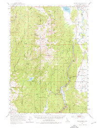
Smiths Ferry and the North Fork Payette River corridor are central to this 1953 survey, capturing the region just as the Cascade Reservoir had altered the local hydrology. The map details a landscape of high timber and mountain peaks within the Boise National Forest, including Snowbank Mtn and Tripod Peak. The presence of the Union Pacific railroad following the river bend highlights the vital transport link through this canyon-cut terrain. Downstream, the irrigation and water management needs of the mid-century are evidenced by the Sage Hen Res and numerous creek systems. Smaller mountain settlements like Alpha and Belvidere are noted, alongside evidence of shifting demographics such as the Lower Alpha School (Aband) and Round Valley School (Aband), reflecting the transition of rural education in Idaho's mountain valleys.
Find a feature on this map
69 named features on this map. Tap any name to fly to it.
Don’t see what you’re looking for? This feature index may not catch every label — zoom into the map to look around manually.
Map Details
Editions of this 1953 Smiths Ferry Map
3 editions found
Other maps of this area

1894 · Squaw Creek
USGS Topo · 1:125,000

1909 · Garden Valley
USGS Topo · 1:125,000

1911 · Meadows
USGS Topo · 1:125,000

1953 · Smiths Ferry
USGS Topo · 1:62,500

1953 · Boiling Springs
USGS Topo · 1:62,500

1953 · Banks
USGS Topo · 1:62,500

1954 · Gold Fork
USGS Topo · 1:62,500

1954 · Council
USGS Topo · 1:62,500

1954 · Cascade
USGS Topo · 1:62,500

1955 · Baker
USGS Topo · 1:250,000