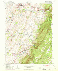
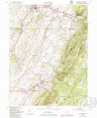
1953 Map of Smithsburg
USGS Topo · Published 1972About this map
South Mountain dominates the eastern horizon of this mid-century survey, creating a dramatic physical boundary between Washington and Frederick counties. Along its steep western slopes, the Western Maryland railroad winds through the terrain, serving upland settlements like Pen Mar and Edgemont. The lowland valley floor is a patchwork of agricultural history, characterized by numerous small churches and family-named landmarks such as Stouffers Ch, Weltys Ch, and Bowmans Mill.
Find a feature on this map
55 named features on this map. Tap any name to fly to it.
Don’t see what you’re looking for? This feature index may not catch every label — zoom into the map to look around manually.
Map Details
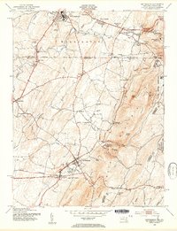
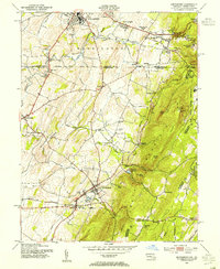
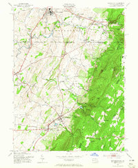
Editions of this 1953 Smithsburg Map
5 editions found
Other maps of this area

1902 · Chambersburg
USGS Topo · 1:62,500

1909 · Fairfield
USGS Topo · 1:62,500

1909 · Hagerstown
USGS Topo · 1:48,000

1911 · Emmitsburg
USGS Topo · 1:62,500

1912 · Hagerstown
USGS Topo · 1:62,500

1942 · Hagerstown
USGS Topo · 1:125,000

1942 · Gettysburg
USGS Topo · 1:125,000

1943 · Emmitsburg
USGS Topo · 1:62,500

1943 · Hagerstown
USGS Topo · 1:125,000

1943 · Chambersburg
USGS Topo · 1:62,500
Featured Places
- Waynesboro, PA
- Smithsburg, MD
- Wayne Heights, Washington Township
- Cavetown, MD
- Pen Mar, Washington Township