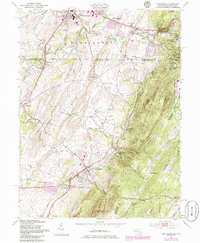
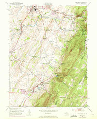
1953 Map of Smithsburg
USGS Topo · Published 1986About this map
Waynesboro sits at the northern edge of this landscape, where the East Branch and West Branch meet, while the historic Mason-Dixon Line separates Pennsylvania from Maryland. The terrain is defined by the sharp rise of Blue Mountain and Quirauk Mtn, creating a natural barrier that influenced the development of the valley below. Local infrastructure in the mid-20th century was deeply tied to the land and its resources, evidenced by the Hagerstown Reservoir and Edgemont Reservoir nestled in the hollows.
Find a feature on this map
54 named features on this map. Tap any name to fly to it.
Don’t see what you’re looking for? This feature index may not catch every label — zoom into the map to look around manually.
Map Details
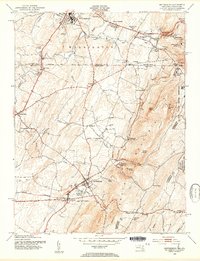
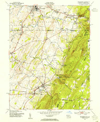
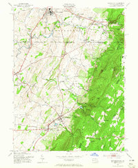
Editions of this 1953 Smithsburg Map
5 editions found
Other maps of this area

1902 · Chambersburg
USGS Topo · 1:62,500

1909 · Fairfield
USGS Topo · 1:62,500

1909 · Hagerstown
USGS Topo · 1:48,000

1911 · Emmitsburg
USGS Topo · 1:62,500

1912 · Hagerstown
USGS Topo · 1:62,500

1942 · Hagerstown
USGS Topo · 1:125,000

1942 · Gettysburg
USGS Topo · 1:125,000

1943 · Emmitsburg
USGS Topo · 1:62,500

1943 · Hagerstown
USGS Topo · 1:125,000

1943 · Chambersburg
USGS Topo · 1:62,500
Featured Places
- Waynesboro, PA
- Smithsburg, MD
- Wayne Heights, Washington Township
- Cavetown, MD
- Pen Mar, Washington Township