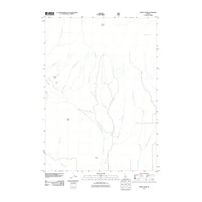
2011 Map of Smoky Dome
USGS Topo · Published 2011About this map
Smoky Dome towers over this section of Camas County, defining a landscape shaped by high-elevation drainage and seasonal grazing patterns. The network of waterways, including South Fork Lime Creek and Rough Creek, flows through a terrain dotted with markers of local pastoral history. One such site, the Ear Creek Sheep Corral, sits near Sheep Point, reflecting the region's enduring reliance on the land for livestock. Down in the valley areas, the presence of the Corral Cemetery near Corral Creek and the Hot Spring provides a grounded look at the early infrastructure and natural resources that supported settlers and travelers along primitive routes like Hill Rd and Corral Creek Rd.
Find a feature on this map
20 named features on this map. Tap any name to fly to it.
Don’t see what you’re looking for? This feature index may not catch every label — zoom into the map to look around manually.
Map Details
Editions of this 2011 Smoky Dome Map
This is the sole edition of this map. No revisions or reprints were ever made.
Other maps of this area

1892 · Camas Prairie
USGS Topo · 1:125,000

1893 · Camas Prairie
USGS Topo · 1:125,000

1894 · Rocky Bar
USGS Topo · 1:125,000

1900 · Sawtooth
USGS Topo · 1:125,000

1955 · Hailey
USGS Topo · 1:250,000

1957 · Fairfield
USGS Topo · 1:62,500

1959 · Hailey
USGS Topo · 1:250,000

1962 · Hailey
USGS Topo · 1:250,000

1963 · Deer Mountain
USGS Topo · 1:24,000

1963 · Hill City
USGS Topo · 1:24,000