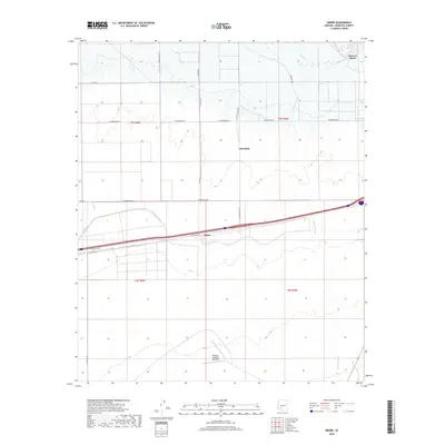
2018 Map of Smurr
USGS Topo · Published 2018About this map
Gila Bend and the small settlement of Smurr occupy this arid landscape in the Sonoran Desert, where the management of water is central to the area's development. The Gila River flows across the northern edge of the sheet, supported by a network of irrigation infrastructure including the Gila Bend Canal, Citrus Ditch, and several laterals such as Lateral A and Lateral D. This intricate system of waterways stands in contrast to the natural drainages of the Sauceda Wash and the prominent terrain at Point of Rocks.
Find a feature on this map
25 named features on this map. Tap any name to fly to it.
Don’t see what you’re looking for? This feature index may not catch every label — zoom into the map to look around manually.
Map Details
Editions of this 2018 Smurr Map
This is the sole edition of this map. No revisions or reprints were ever made.
Other maps of this area

1950 · Theba
USGS Topo · 1:62,500

1951 · Gila Bend
USGS Topo · 1:62,500

1951 · Theba
USGS Topo · 1:62,500

1951 · Cotton Center
USGS Topo · 1:62,500

1951 · Woolsey Peak
USGS Topo · 1:62,500

1953 · Ajo
USGS Topo · 1:250,000

1954 · Phoenix
USGS Topo · 1:250,000

1957 · Ajo
USGS Topo · 1:250,000

1957 · Phoenix
USGS Topo · 1:250,000

1958 · Ajo
USGS Topo · 1:250,000