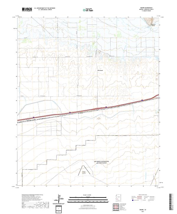
2021 Map of Smurr
USGS Topo · Published 2021About this map
Williams Auxiliary Airfield 6 and the settlement of Smurr anchor this high-desert landscape in central Arizona. The area is defined by its complex irrigation and water management systems, including the Gila Bend Canal, Citrus Ditch, and the flow of the Gila River near the prominent Point of Rocks. This network of canals and ditches highlights the region's agricultural reliance on redirected water in an arid environment, a theme reinforced by local road names like Watermelon Rd and S Potatoe Rd. The presence of the airfield indicates the strategic importance of this open terrain for aviation and training. To the south, the natural topography is marked by the seasonal drainage of Sauceda Wash, which cuts across the land near the Gila Bend area, while human development is traced through the grid of Citrus Valley Rd and other local thoroughfares.
Find a feature on this map
23 named features on this map. Tap any name to fly to it.
Don’t see what you’re looking for? This feature index may not catch every label — zoom into the map to look around manually.
Map Details
Editions of this 2021 Smurr Map
This is the sole edition of this map. No revisions or reprints were ever made.
Other maps of this area

1950 · Theba
USGS Topo · 1:62,500

1951 · Gila Bend
USGS Topo · 1:62,500

1951 · Theba
USGS Topo · 1:62,500

1951 · Cotton Center
USGS Topo · 1:62,500

1951 · Woolsey Peak
USGS Topo · 1:62,500

1953 · Ajo
USGS Topo · 1:250,000

1954 · Phoenix
USGS Topo · 1:250,000

1957 · Ajo
USGS Topo · 1:250,000

1957 · Phoenix
USGS Topo · 1:250,000

1958 · Ajo
USGS Topo · 1:250,000