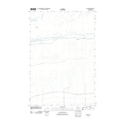
2011 Map of Smyrna
USGS Topo · Published 2011About this map
Lower Crab Creek defines the east-west corridor of this Central Washington landscape, where the small settlement of Smyrna and the nearby Schrum Ranch sit nestled within the coulee terrain. The presence of the John Wayne Trl follows the old railway alignment, a critical corridor for researchers tracing the historical transport routes through Grant County. To the northwest, Sand Hollow Lake and the Royal Branch Canal Wasteway indicate the significant role of irrigation infrastructure in this arid region, while Dry Island stands as a prominent topographical feature. The map's grid-like road network, including Wahluke Rd Sw and Road I Sw, illustrates the structured land division common in the Columbia Basin during the early twenty-first century.
Find a feature on this map
15 named features on this map. Tap any name to fly to it.
Don’t see what you’re looking for? This feature index may not catch every label — zoom into the map to look around manually.
Map Details
Editions of this 2011 Smyrna Map
This is the sole edition of this map. No revisions or reprints were ever made.
Other maps of this area

1911 · Red Rock
USGS Topo · 1:62,500

1912 · Beverly
USGS Topo · 1:62,500

1916 · Coyote Rapids
USGS Topo · 1:62,500

1917 · Priest Rapids
USGS Topo · 1:62,500

1950 · Smyrna
USGS Topo · 1:62,500

1951 · Priest Rapids
USGS Topo · 1:62,500

1951 · Smyrna
USGS Topo · 1:62,500

1951 · Coyote Rapids
USGS Topo · 1:62,500

1953 · Walla Walla
USGS Topo · 1:250,000

1954 · Beverly NE
USGS Topo · 1:24,000