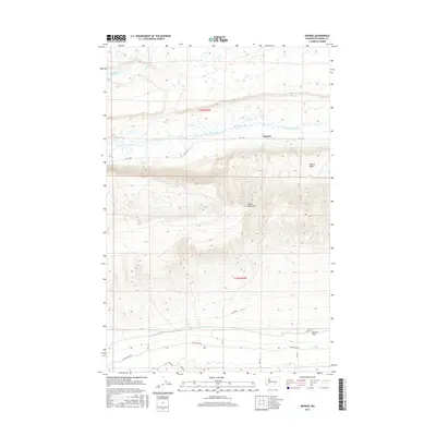
2017 Map of Smyrna
USGS Topo · Published 2017About this map
Smyrna sits along the northern edge of the formidable Saddle Mountains, marking a point where the landscape transitions from high desert ridges to the fertile valley floor. In the late twenty-first century, this area remains defined by its complex water management and distinct topography. The Lower Crab Creek winds through the central corridor, flanked by the high elevation of the Smyrna Bench and the broad Wahluke Slope to the south. This survey highlights the local irrigation infrastructure, featuring the Royal B Canal Wasteway and the presence of Sand Hollow Lake in the northwest. The map captures a grid of rural roads like RD 17 SW and Wahluke RD SW, which provide access to the agricultural lands and remote terrain that characterize this portion of Grant County.
Find a feature on this map
19 named features on this map. Tap any name to fly to it.
Don’t see what you’re looking for? This feature index may not catch every label — zoom into the map to look around manually.
Map Details
Editions of this 2017 Smyrna Map
This is the sole edition of this map. No revisions or reprints were ever made.
Other maps of this area

1911 · Red Rock
USGS Topo · 1:62,500

1912 · Beverly
USGS Topo · 1:62,500

1916 · Coyote Rapids
USGS Topo · 1:62,500

1917 · Priest Rapids
USGS Topo · 1:62,500

1950 · Smyrna
USGS Topo · 1:62,500

1951 · Priest Rapids
USGS Topo · 1:62,500

1951 · Smyrna
USGS Topo · 1:62,500

1951 · Coyote Rapids
USGS Topo · 1:62,500

1953 · Walla Walla
USGS Topo · 1:250,000

1954 · Beverly NE
USGS Topo · 1:24,000