Loading...
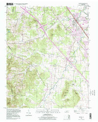
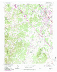
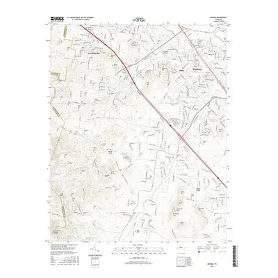
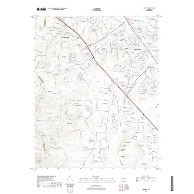
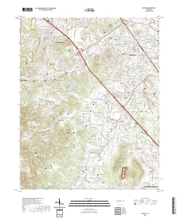
Loading map...1998 Map of Smyrna
USGS Topo · Published 1999About this map
The rolling landscape of northern Rutherford County is defined by its complex network of small cemeteries and early rural institutions. Established communities like La Vergne and Smyrna are balanced by smaller locales such as Loafers Corner and Hilltop. Significant family and community history is preserved in named burial grounds including Sam Davis Home Cem, the Mullins Cem (City View), and the Dewitt Smith Jobe Cem.
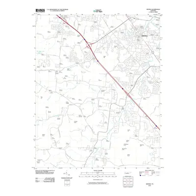
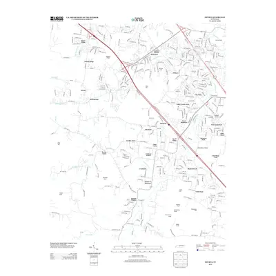
Find a feature on this map
79 named features on this map. Tap any name to fly to it.
Don’t see what you’re looking for? This feature index may not catch every label — zoom into the map to look around manually.
Map Details
Date Portrayed1998
Date Published1999
PublisherU.S. Geological Survey
Map TypeTopographic
Scale1:24,000
Physical Dimensions22 x 27.3 inches
Editions of this 1998 Smyrna Map
This is the sole edition of this map. No revisions or reprints were ever made.
Historical Maps of Nashville Through Time
7 maps found
Featured Locations
Source Details
SourceU.S. Geological Survey
CopyrightPublic Domain