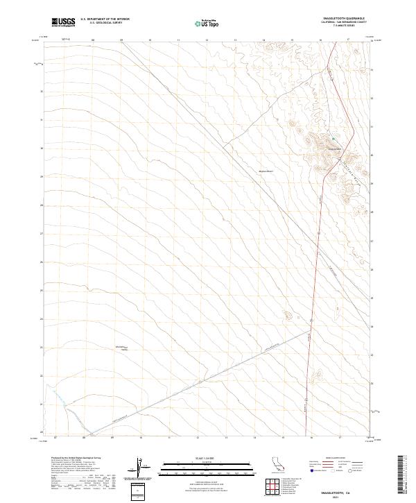
2021 Map of Snaggletooth
USGS Topo · Published 2021About this map
The Sawtooth Range creates a striking eastern boundary for this expanse of the Mojave Desert in San Bernardino County. This arid landscape is defined by the broad drainage of the Chemehuevi Wash, which flows through the southwestern corner toward the Chemehuevi Valley. The eponymous Snaggletooth peak serves as a prominent landmark for travelers navigating US Rte 95, which bisects the eastern portion of the sheet. Modern desert infrastructure is clearly delineated, showing the convergence of Havasu Lake Rd and Turtle Mountain Rd as they link this remote territory to the Colorado River region to the east. The map provides a clear view of the Public Land Survey System grid, including boundaries for t6n r21e and t5n r22e, reflecting how this vast open space is systematically partitioned.
Find a feature on this map
12 named features on this map. Tap any name to fly to it.
Don’t see what you’re looking for? This feature index may not catch every label — zoom into the map to look around manually.
Map Details
Editions of this 2021 Snaggletooth Map
This is the sole edition of this map. No revisions or reprints were ever made.
Other maps of this area

1903 · Needles
USGS Topo · 1:125,000

1904 · Needles Special
USGS Topo · 1:125,000

1943 · Center Hills
USGS Topo · 1:62,500

1943 · Turtle Mts.
USGS Topo · 1:62,500

1950 · Sawtooth Range
USGS Topo · 1:62,500

1950 · Savahia Peak
USGS Topo · 1:62,500

1951 · Savahia Peak
USGS Topo · 1:62,500

1951 · Sawtooth Range
USGS Topo · 1:62,500

1954 · Needles
USGS Topo · 1:250,000

1954 · Turtle Mountains
USGS Topo · 1:62,500