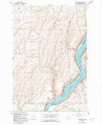
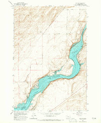
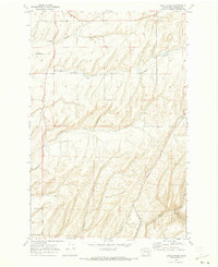
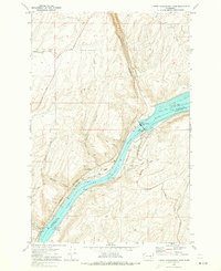
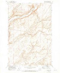
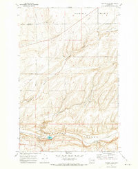
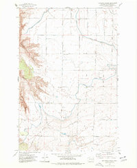
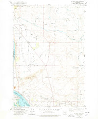
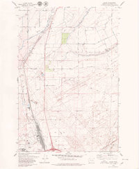
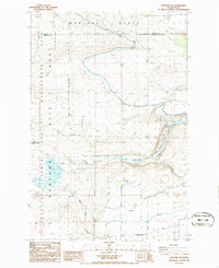
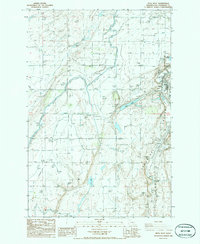
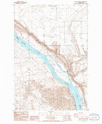
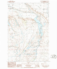
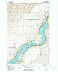
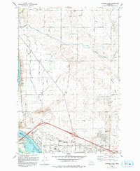
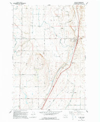
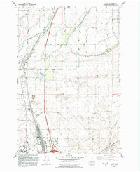
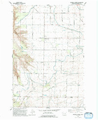
1991 Map of Snake River
USGS Topo · Published 1992About this map
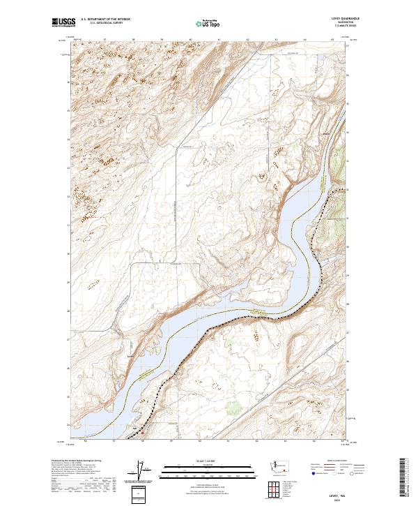
Lake Sacajawea dominates this high-desert landscape where the Snake River serves as the dividing line between Franklin and Walla Walla counties. The early 1990s terrain reveals an economy built around industrial agriculture and river transport, characterized by numerous storage bins and a prominent grain elevator situated near the water. The Union Pacific railroad tracks hug the eastern shoreline, connecting river-bound settlements like Walker and Sheffler to the broader regional network.
Find a feature on this map
27 named features on this map. Tap any name to fly to it.
Don’t see what you’re looking for? This feature index may not catch every label — zoom into the map to look around manually.
Map Details
Editions of this 1991 Snake River Map
This is the sole edition of this map. No revisions or reprints were ever made.
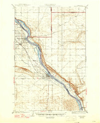
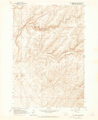
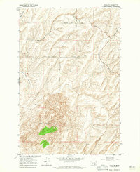
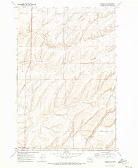
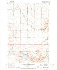
Historical Maps of Walker Through Time
60 maps found
1924 Hanford
Franklin County, WA

1925 Scooteney Lake
Franklin County, WA

1948 Ayer
Franklin County, WA

1950 Haas
Franklin County, WA

1951 Hanford
Franklin County, WA

1951 Scooteney Lake
Franklin County, WA
1963 Rye Grass Coulee
Franklin County, WA
1964 Levey NE
Franklin County, WA
1964 Levey SE
Franklin County, WA
1964 Levey SW
Franklin County, WA

1965 Eltopia
Franklin County, WA
1965 Hanford
Franklin County, WA
1966 Snake River
Franklin County, WA
1970 Burr Canyon
Franklin County, WA
1970 Connell SE
Franklin County, WA
1970 Frischknecht
Franklin County, WA
1970 Lower Monumental Dam
Franklin County, WA
1970 Mesa East
Franklin County, WA
1970 Sulphur Lake
Franklin County, WA
1975 Mathews Corner
Franklin County, WA
1978 Columbia Point
Franklin County, WA
1979 Glade
Franklin County, WA
1981 Sperry
Franklin County, WA
1981 Washtucna South
Franklin County, WA
1986 Eagle Lakes
Franklin County, WA
1986 Hanford NE
Franklin County, WA
1986 Mesa West
Franklin County, WA
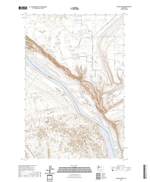
1986 Savage Island
Franklin County, WA
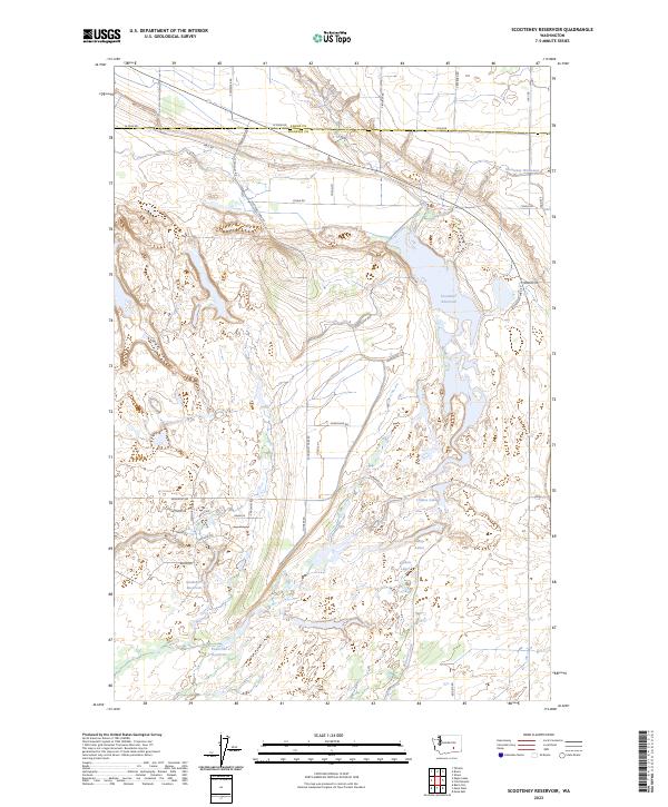
1986 Scooteney Reservoir
Franklin County, WA
1991 Levey
Franklin County, WA
1991 Levey NE
Franklin County, WA
1991 Levey SW
Franklin County, WA
1991 Rye Grass Coulee
Franklin County, WA
1991 Snake River
Franklin County, WA
1992 Columbia Point
Franklin County, WA
1992 Eltopia
Franklin County, WA
1992 Glade
Franklin County, WA
1992 Mathews Corner
Franklin County, WA
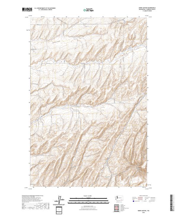
2023 Burr Canyon
Franklin County, WA
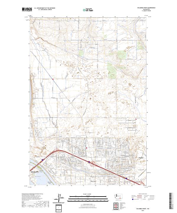
2023 Columbia Point
Franklin County, WA
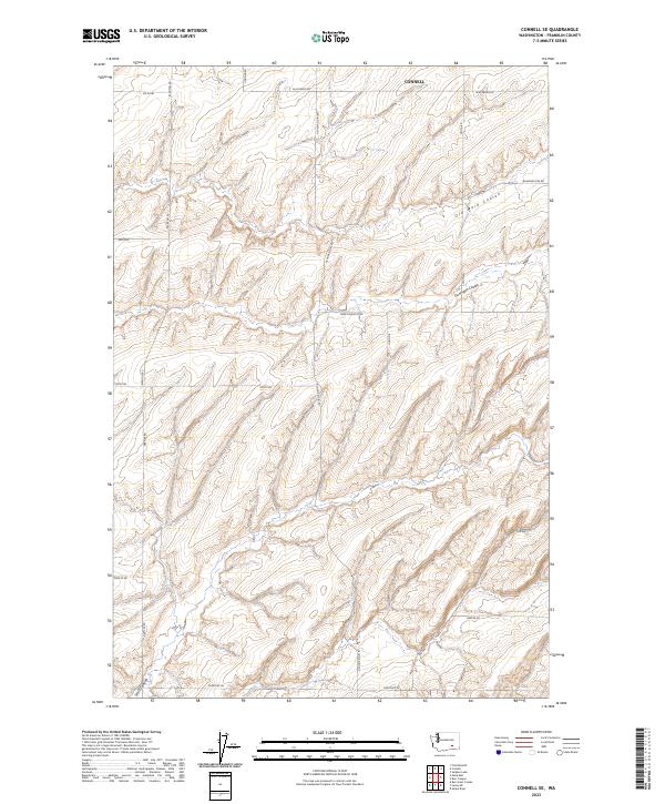
2023 Connell SE
Franklin County, WA
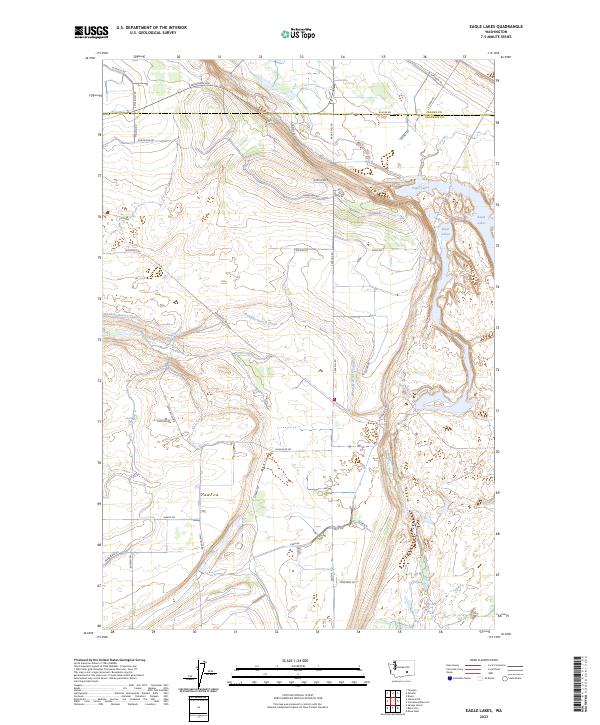
2023 Eagle Lakes
Franklin County, WA
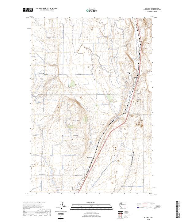
2023 Eltopia
Franklin County, WA
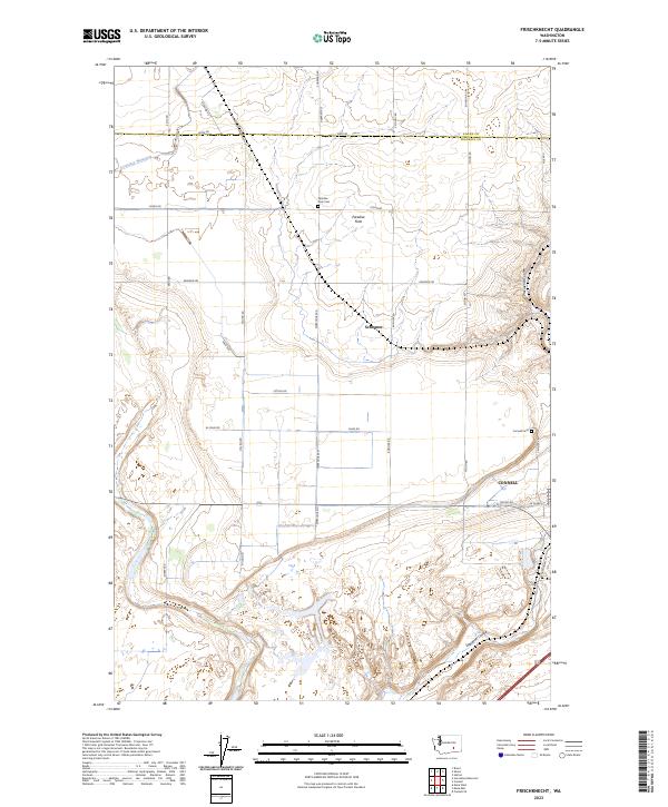
2023 Frischknecht
Franklin County, WA
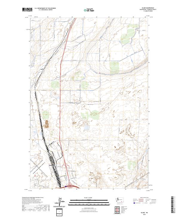
2023 Glade
Franklin County, WA
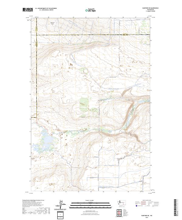
2023 Hanford NE
Franklin County, WA
2023 Levey
Franklin County, WA
2023 Levey NE
Franklin County, WA
2023 Levey SW
Franklin County, WA
2023 Lower Monumental Dam
Franklin County, WA
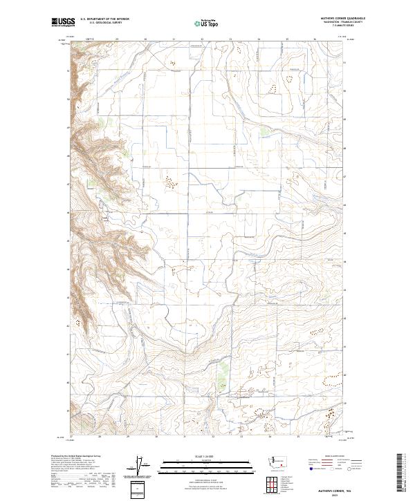
2023 Mathews Corner
Franklin County, WA
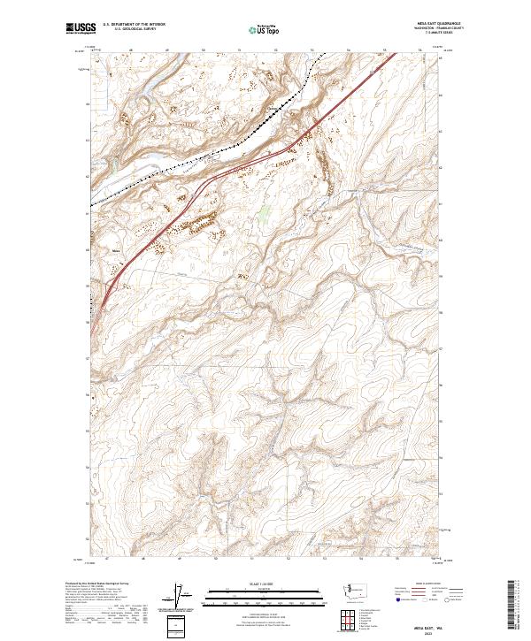
2023 Mesa East
Franklin County, WA
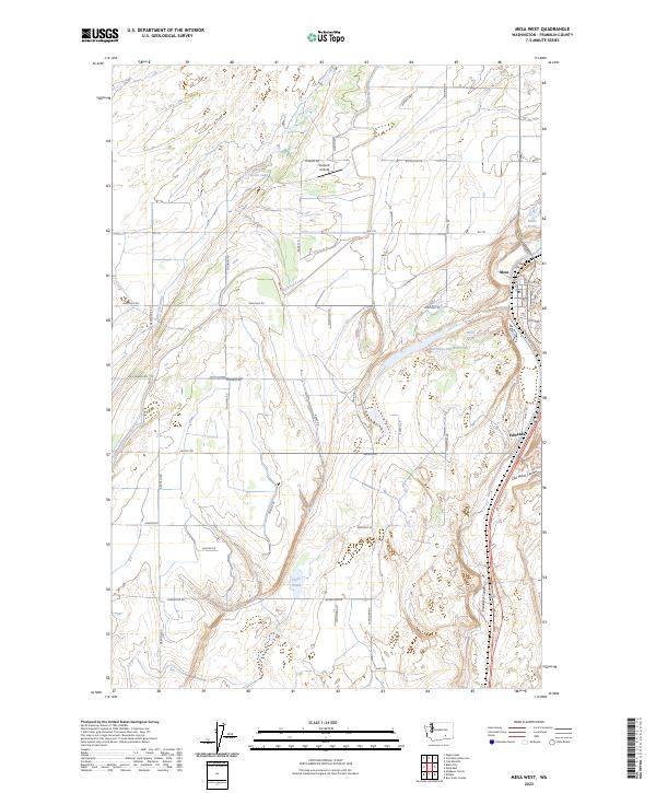
2023 Mesa West
Franklin County, WA
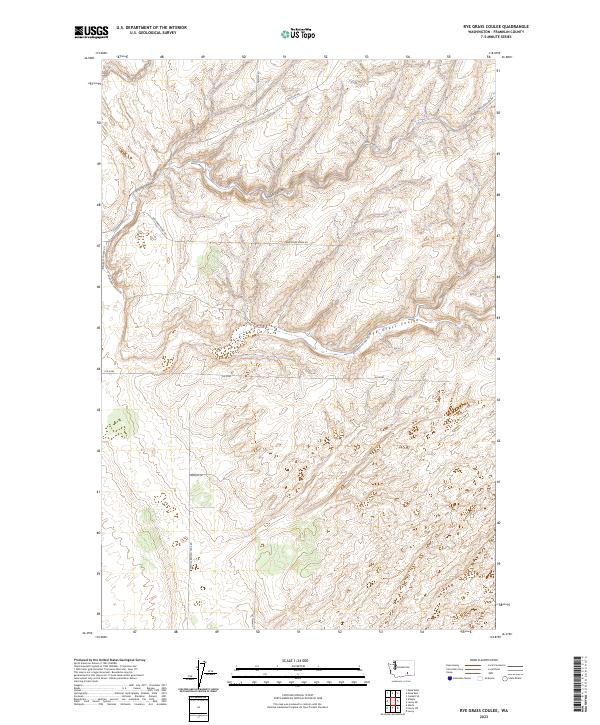
2023 Rye Grass Coulee
Franklin County, WA
2023 Savage Island
Franklin County, WA
2023 Scooteney Reservoir
Franklin County, WA
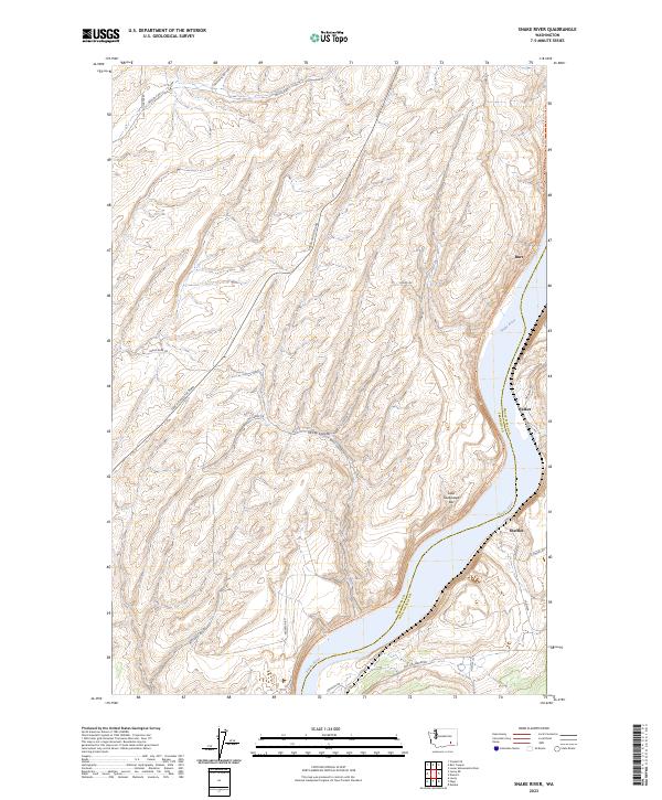
2023 Snake River
Franklin County, WA
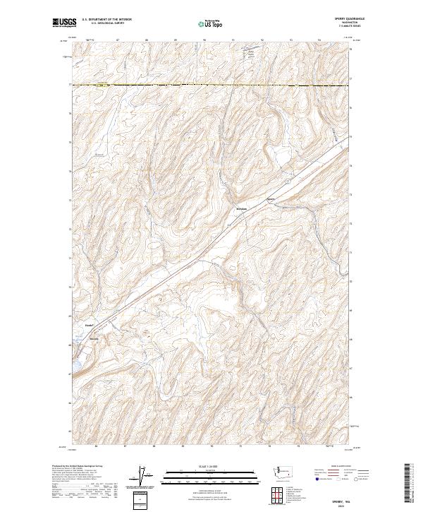
2023 Sperry
Franklin County, WA
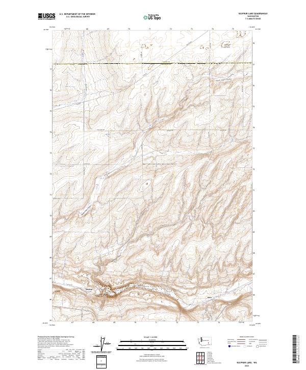
2023 Sulphur Lake
Franklin County, WA
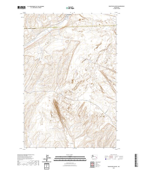
2023 Washtucna South
Franklin County, WA