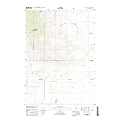
2017 Map of Snaky Canyon
USGS Topo · Published 2017About this map
Targhee National Forest defines the northwestern high ground of this Idaho landscape, where the terrain breaks into a series of deeply carved drainages along the Clark and Jefferson County line. The survey captures a transition from these steep, timbered uplands to the flatter sagebrush steppe and agricultural lands of the Snake River Plain. Water management is evident in the southern reaches through the Reno Ditch, which follows the contours below Reno Gulch. Historical land divisions are clearly marked by the Public Land Survey System, including t9n r32e and t8n r32e, providing a precise grid for researchers. Named landmarks such as Rattlesnake Point and Juniper Gulch serve as essential navigational markers in this open country, while primitive routes like Snaky Canyon Rd and Attkins Rd provide the primary access through the canyon systems of Snaky Canyon and Corral Canyon.
Find a feature on this map
19 named features on this map. Tap any name to fly to it.
Don’t see what you’re looking for? This feature index may not catch every label — zoom into the map to look around manually.
Map Details
Editions of this 2017 Snaky Canyon Map
This is the sole edition of this map. No revisions or reprints were ever made.
Other maps of this area

1955 · Dubois
USGS Topo · 1:250,000

1955 · Idaho Falls
USGS Topo · 1:250,000

1958 · Dubois
USGS Topo · 1:250,000

1958 · Idaho Falls
USGS Topo · 1:250,000

1969 · Shamrock Gulch
USGS Topo · 1:24,000

1969 · Lidy Hot Springs SE
USGS Topo · 1:24,000

1969 · Circular Butte NW
USGS Topo · 1:24,000

1969 · Richard Butte
USGS Topo · 1:24,000

1969 · Copper Mtn
USGS Topo · 1:24,000

1969 · Lidy Hot Springs
USGS Topo · 1:24,000