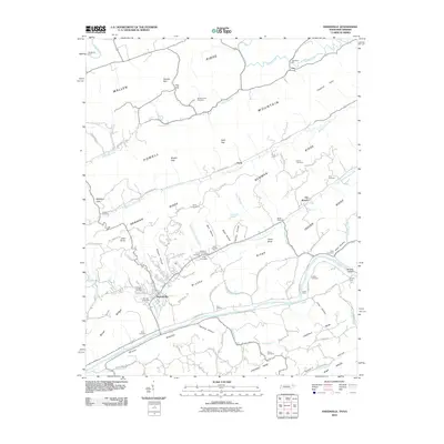
2010 Map of Sneedville
USGS Topo · Published 2010About this map
Sneedville sits at the base of Newman Ridge in a region defined by the rhythmic parallel alignment of the Appalachian Valley and Ridge province. The landscape is characterized by narrow valleys drained by Greasy Rock Creek and Blackwater Creek, separated by steep elevations like Powell Ridge and Indian Ridge. Settlement patterns follow these natural corridors, with clusters of family history visible in the numerous small burial grounds such as Goins Cemetery, De Bord Cemetery, and Vanderventer Cemetery.
Find a feature on this map
101 named features on this map. Tap any name to fly to it.
Don’t see what you’re looking for? This feature index may not catch every label — zoom into the map to look around manually.
Map Details
Editions of this 2010 Sneedville Map
This is the sole edition of this map. No revisions or reprints were ever made.
Other maps of this area

1883 · Morristown
USGS Topo · 1:125,000

1887 · Jonesville
USGS Topo · 1:125,000

1891 · Jonesville
USGS Topo · 1:125,000

1893 · Morristown
USGS Topo · 1:125,000

1895 · Morristown
USGS Topo · 1:125,000

1932 · Hagan
USGS Topo · 1:62,500

1935 · Rogersville
USGS Topo · 1:48,000

1935 · Tate Springs
USGS Topo · 1:48,000

1935 · Kyles Ford
USGS Topo · 1:24,000

1935 · Lee Valley
USGS Topo · 1:24,000