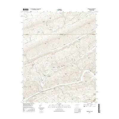
2016 Map of Sneedville
USGS Topo · Published 2016About this map
The town of Sneedville sits at a strategic junction along the Clinch River, where the valley floor meets the imposing rises of Newman Ridge and Wallen Ridge. This topography creates a landscape of deep hollows and isolated ridges, such as Cave Gap Hollow and Chestnut Ridge, which historically dictated the paths of travel and the locations of small family cemeteries. The map reveals a high density of these burial grounds, including the Vanderventer Cem, Collins Cem, and Gollithon Cem, providing a significant record of the area's genealogical history. Beyond the town center, small communities like Vardy and Mulberry Gap are scattered through the gaps, connected by winding mountain roads. To the southwest, the Mountain Outlaw Airport offers a modern contrast to the traditional riverfront settlement patterns near Brooks Island, reflecting the continued importance of transportation infrastructure in this pocket of East Tennessee.
Find a feature on this map
124 named features on this map. Tap any name to fly to it.
Don’t see what you’re looking for? This feature index may not catch every label — zoom into the map to look around manually.
Map Details
Editions of this 2016 Sneedville Map
This is the sole edition of this map. No revisions or reprints were ever made.
Other maps of this area

1883 · Morristown
USGS Topo · 1:125,000

1887 · Jonesville
USGS Topo · 1:125,000

1891 · Jonesville
USGS Topo · 1:125,000

1893 · Morristown
USGS Topo · 1:125,000

1895 · Morristown
USGS Topo · 1:125,000

1932 · Hagan
USGS Topo · 1:62,500

1935 · Rogersville
USGS Topo · 1:48,000

1935 · Tate Springs
USGS Topo · 1:48,000

1935 · Kyles Ford
USGS Topo · 1:24,000

1935 · Lee Valley
USGS Topo · 1:24,000