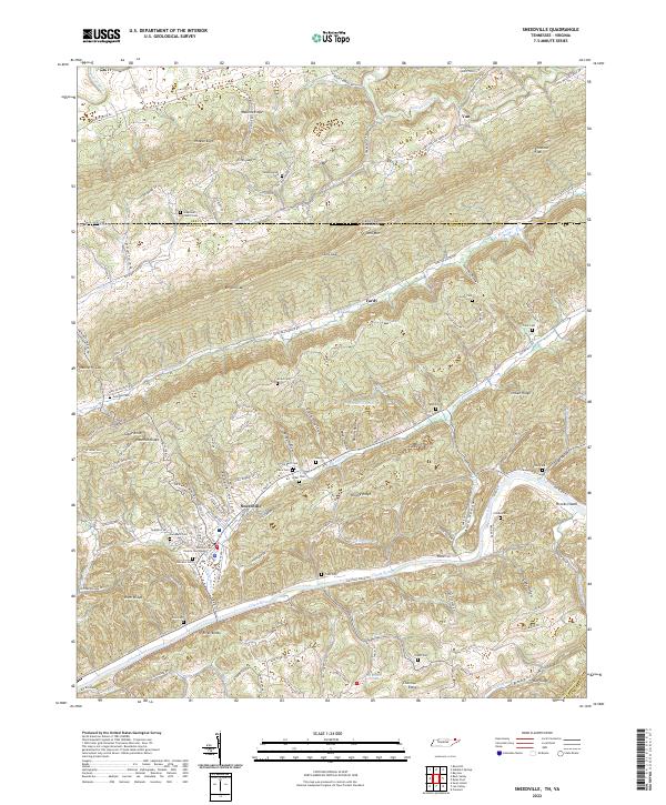
2022 Map of Sneedville
USGS Topo · Published 2022About this map
The Hancock County Courthouse serves as the focal point of Sneedville, situated between the dramatic elevation of Newman Ridge and the Clinch River. This modern survey reveals a landscape deeply carved by water and time, where the steep topography of Wallens Ridge and Powell Mtn dictates the local road network. Smaller settlements like Vardy and Mulberry Gap sit tucked into the gaps and hollows, connected by routes such as Vardy Blackwater Rd.
Find a feature on this map
151 named features on this map. Tap any name to fly to it.
Don’t see what you’re looking for? This feature index may not catch every label — zoom into the map to look around manually.
Map Details
Editions of this 2022 Sneedville Map
This is the sole edition of this map. No revisions or reprints were ever made.
Other maps of this area

1883 · Morristown
USGS Topo · 1:125,000

1887 · Jonesville
USGS Topo · 1:125,000

1891 · Jonesville
USGS Topo · 1:125,000

1893 · Morristown
USGS Topo · 1:125,000

1895 · Morristown
USGS Topo · 1:125,000

1932 · Hagan
USGS Topo · 1:62,500

1935 · Rogersville
USGS Topo · 1:48,000

1935 · Tate Springs
USGS Topo · 1:48,000

1935 · Kyles Ford
USGS Topo · 1:24,000

1935 · Lee Valley
USGS Topo · 1:24,000