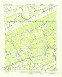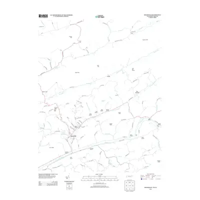
1947 Map of Sneedville
USGS Topo · Published 1949About this map
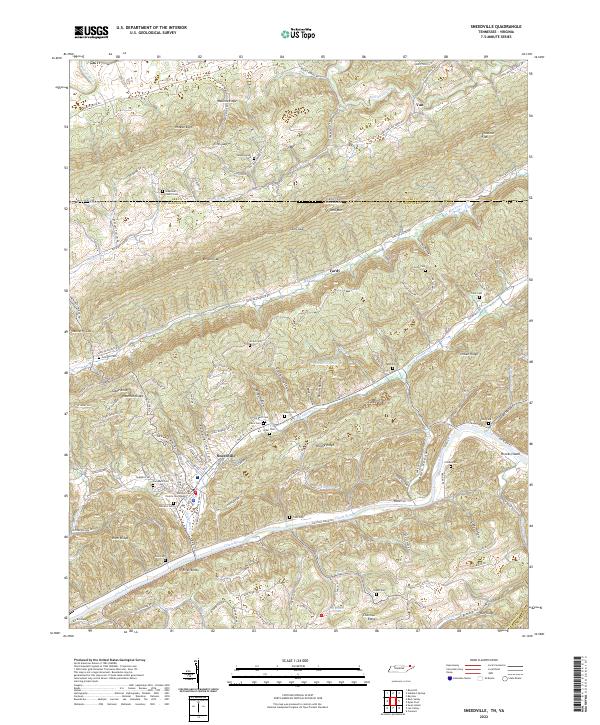
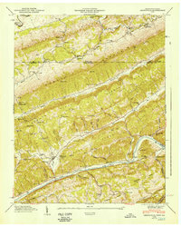
Sneedville serves as the central hub of this 1946 field study, situated along the Clinch River amidst a series of parallel mountain ridges. The landscape is defined by the sharp vertical relief of Wallen Ridge, Powell Mountain, and Newman Ridge, which dictate the placement of early settlements and roads. The presence of numerous family cemeteries such as Goins Cem, Vanderventer Cem, and Seal Cem provides significant genealogical context for the region's established families.
Find a feature on this map
76 named features on this map. Tap any name to fly to it.
Don’t see what you’re looking for? This feature index may not catch every label — zoom into the map to look around manually.
Map Details
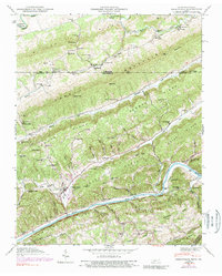
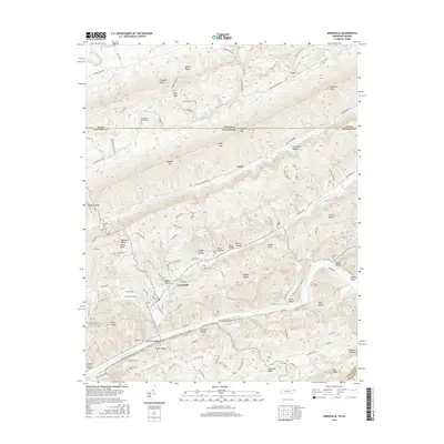
Editions of this 1947 Sneedville Map
This is the sole edition of this map. No revisions or reprints were ever made.
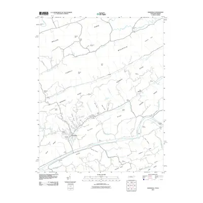
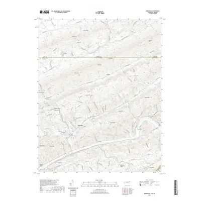
Historical Maps of Sneedville Through Time
9 maps found