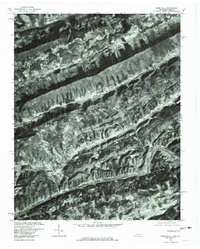
1976 Map of Sneedville
USGS Topo · Published 1981About this map
Sneedville serves as the focal point of this Tennessee-Virginia border landscape, situated in the narrow valleys between prominent ridges. The area is defined by the parallel drainage patterns of the Powell River to the north and the Clinch River to the south, with various creeks like Mulberry Creek and Blackwater Creek carving through the steep terrain. This orthophotoquad provides an unvarnished aerial view of mid-1970s land use, showing the tight integration of small-scale agriculture and forest in the Appalachian ridges.
Find a feature on this map
13 named features on this map. Tap any name to fly to it.
Don’t see what you’re looking for? This feature index may not catch every label — zoom into the map to look around manually.
Map Details
Editions of this 1976 Sneedville Map
This is the sole edition of this map. No revisions or reprints were ever made.
Other maps of this area

1883 · Morristown
USGS Topo · 1:125,000

1887 · Jonesville
USGS Topo · 1:125,000

1891 · Jonesville
USGS Topo · 1:125,000

1893 · Morristown
USGS Topo · 1:125,000

1895 · Morristown
USGS Topo · 1:125,000

1932 · Hagan
USGS Topo · 1:62,500

1935 · Rogersville
USGS Topo · 1:48,000

1935 · Tate Springs
USGS Topo · 1:48,000

1935 · Kyles Ford
USGS Topo · 1:24,000

1935 · Lee Valley
USGS Topo · 1:24,000