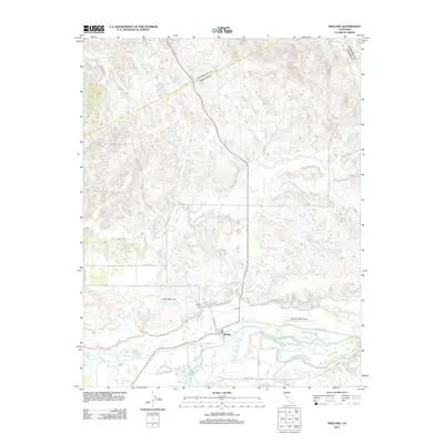
2012 Map of Snelling
USGS Topo · Published 2012About this map
Snelling sits on the northern bank of the Merced River in this Merced County landscape, where the flat valley floor meets the rising elevations of the foothills. The town center is oriented around Montgomery St and Snelling Rd, featuring a local Po serving the surrounding agricultural and ranching community. Water management is a central theme of the geography, evidenced by the North Side Canal running parallel to the river and several intermittent waterways like Dry Cr and Peaslee Cr that drain the northern hills. To the east of town, the Bonanza Hills Airport serves the local area, while the landmark Negro Hill rises above the canal. The map captures a sophisticated network of rural roads, including Fields Rd and Merced Falls Rd, which connect the scattered homesteads and ranches to the historic settlement of Snelling.
Find a feature on this map
19 named features on this map. Tap any name to fly to it.
Don’t see what you’re looking for? This feature index may not catch every label — zoom into the map to look around manually.
Map Details
Editions of this 2012 Snelling Map
This is the sole edition of this map. No revisions or reprints were ever made.
Other maps of this area

1893 · Sonora
USGS Topo · 1:125,000

1896 · Sonora
USGS Topo · 1:125,000

1897 · Sonora
USGS Topo · 1:125,000

1898 · Sonora
USGS Topo · 1:125,000

1913 · Dickenson
USGS Topo · 1:31,680

1915 · La Grange
USGS Topo · 1:24,000

1916 · Three Tree Flat
USGS Topo · 1:31,680

1916 · Hopeton
USGS Topo · 1:31,680

1916 · Cooperstown
USGS Topo · 1:31,680

1916 · Merced Falls
USGS Topo · 1:24,000