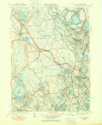
1942 Map of Snipatuit Pond
USGS Topo · Published 1950About this map
The Weweantic River and Branch Sippican River systems define this landscape of Plymouth County, characterized by a complex network of cranberry cultivation and glacial ponds. Extensive agricultural features like Atwood Bogs and Benson Pond Bogs dominate the northern and eastern reaches, reflecting the region's historical reliance on bog farming. The New York New Haven and Hartford railroad cuts a straight line through the center, connecting the settlements of South Middleboro and West Wareham.
Find a feature on this map
78 named features on this map. Tap any name to fly to it.
Don’t see what you’re looking for? This feature index may not catch every label — zoom into the map to look around manually.
Map Details
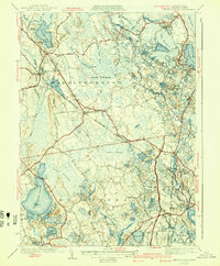
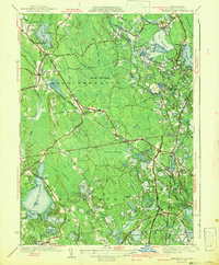
Editions of this 1942 Snipatuit Pond Map
3 editions found
Other maps of this area

1885 · New Bedford
USGS Topo · 1:62,500

1885 · Middleboro
USGS Topo · 1:62,500

1886 · Falmouth
USGS Topo · 1:62,500

1886 · Plymouth
USGS Topo · 1:62,500

1888 · New Bedford
USGS Topo · 1:62,500

1888 · Falmouth
USGS Topo · 1:62,500

1888 · Middleboro
USGS Topo · 1:62,500

1889 · Plymouth
USGS Topo · 1:62,500

1893 · Middleboro
USGS Topo · 1:62,500

1893 · Falmouth
USGS Topo · 1:62,500