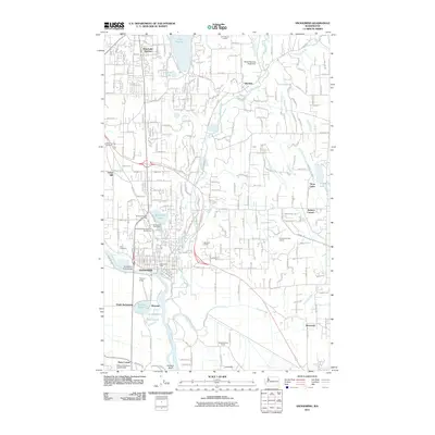
2011 Map of Snohomish
USGS Topo · Published 2011About this map
Snohomish sits at the heart of this landscape, where the Snohomish River meets its winding tributaries during the early 21st century. The map details a transition between suburban growth and the agricultural character of the river valley, evidenced by the clustered residential streets of West Lake Stevens and the open flats surrounding French Creek. Local landmarks like Harvey Field and the Snohomish Post Office define the town center, while smaller settlements such as Machias, Roosevelt, and Three Lakes dot the outlying hills and lakefronts.
Find a feature on this map
44 named features on this map. Tap any name to fly to it.
Don’t see what you’re looking for? This feature index may not catch every label — zoom into the map to look around manually.
Map Details
Editions of this 2011 Snohomish Map
This is the sole edition of this map. No revisions or reprints were ever made.
Other maps of this area

1895 · Snohomish
USGS Topo · 1:125,000

1897 · Seattle
USGS Topo · 1:125,000

1899 · Stillaguamish
USGS Topo · 1:125,000

1901 · Stilaguamish
USGS Topo · 1:125,000

1911 · Mount Vernon
USGS Topo · 1:125,000

1921 · Sultan
USGS Topo · 1:125,000

1923 · Sultan
USGS Topo · 1:125,000

1941 · Marysville
USGS Topo · 1:62,500

1943 · Marysville
USGS Topo · 1:62,500

1944 · Everett
USGS Topo · 1:62,500