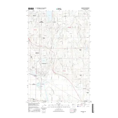
2017 Map of Snohomish
USGS Topo · Published 2017About this map
Snohomish and its surrounding riverine landscape are captured here in the late twenty-teens, showing a region defined by the winding Snohomish River and the expansive Lake Stevens to the north. The area's history is anchored by the Grand Army of the Republic Cem and Mount Carmel Cem, while the modern aviation footprint of Harvey Field sits along the river's bend. The map illustrates a dense network of suburban development and rural pockets, including settlements like Machias, Cavalero, and Bunk Foss.
Find a feature on this map
92 named features on this map. Tap any name to fly to it.
Don’t see what you’re looking for? This feature index may not catch every label — zoom into the map to look around manually.
Map Details
Editions of this 2017 Snohomish Map
This is the sole edition of this map. No revisions or reprints were ever made.
Other maps of this area

1895 · Snohomish
USGS Topo · 1:125,000

1897 · Seattle
USGS Topo · 1:125,000

1899 · Stillaguamish
USGS Topo · 1:125,000

1901 · Stilaguamish
USGS Topo · 1:125,000

1911 · Mount Vernon
USGS Topo · 1:125,000

1921 · Sultan
USGS Topo · 1:125,000

1923 · Sultan
USGS Topo · 1:125,000

1941 · Marysville
USGS Topo · 1:62,500

1943 · Marysville
USGS Topo · 1:62,500

1944 · Everett
USGS Topo · 1:62,500