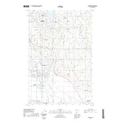
2020 Map of Snohomish
USGS Topo · Published 2020About this map
The Snohomish River meanders through the southern half of this area, shaping a landscape defined by expansive floodplains and complex water systems like Hanson Slough and Batt Slough. North of the river, the city of Snohomish serves as a central hub, while the residential and recreation-focused waters of Lake Stevens dominate the northern portion. The map reveals a dense network of suburban and rural communities, including West Lake Stevens, Bunk Foss, and Machias, which are connected by a grid of numbered roads. Notable for genealogists, the area contains several historical burial grounds, such as the Grand Army of the Republic Cem and the Zion Lutheran Cem. The presence of Harvey Field near the river indicates the continued importance of regional transportation and aviation within this Snohomish County corridor.
Find a feature on this map
99 named features on this map. Tap any name to fly to it.
Don’t see what you’re looking for? This feature index may not catch every label — zoom into the map to look around manually.
Map Details
Editions of this 2020 Snohomish Map
This is the sole edition of this map. No revisions or reprints were ever made.
Other maps of this area

1895 · Snohomish
USGS Topo · 1:125,000

1897 · Seattle
USGS Topo · 1:125,000

1899 · Stillaguamish
USGS Topo · 1:125,000

1901 · Stilaguamish
USGS Topo · 1:125,000

1911 · Mount Vernon
USGS Topo · 1:125,000

1921 · Sultan
USGS Topo · 1:125,000

1923 · Sultan
USGS Topo · 1:125,000

1941 · Marysville
USGS Topo · 1:62,500

1943 · Marysville
USGS Topo · 1:62,500

1944 · Everett
USGS Topo · 1:62,500