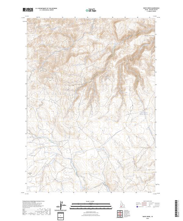
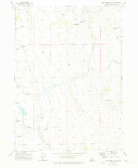
2024 Map of Snow Creek
USGS Topo · Published 2024About this map
Little Jacks Creek Wilderness dominates the northeastern reaches of this high-plateau landscape in Owyhee County. The drainage network is defined by the diverging paths of West Fork Shoofly Creek and East Fork Shoofly Creek, with the latter feeding into the Upper East Fork Shoofly Reservoir. These water sources, along with Big Sagehen Reservoir and Elk Reservoir, illustrate the critical importance of water management in this arid interior basin.
Find a feature on this map
25 named features on this map. Tap any name to fly to it.
Don’t see what you’re looking for? This feature index may not catch every label — zoom into the map to look around manually.
Map Details
Editions of this 2024 Snow Creek Map
This is the sole edition of this map. No revisions or reprints were ever made.
Other maps of this area

1947 · Grand View
USGS Topo · 1:62,500

1947 · Perjue Canyon
USGS Topo · 1:24,000

1948 · Perjue Canyon
USGS Topo · 1:24,000

1955 · Jordan Valley
USGS Topo · 1:250,000

1957 · Jordan Valley
USGS Topo · 1:250,000

1958 · Jordan Valley
USGS Topo · 1:250,000
1972 · Rough Mountain
USGS Topo · 1:24,000
1972 · Pixley Basin
USGS Topo · 1:24,000
1972 · Big Springs Ranch
USGS Topo · 1:24,000
1972 · Crab Spring Butte
USGS Topo · 1:24,000