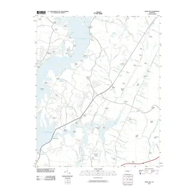
2010 Map of Snow Hill
USGS Topo · Published 2010About this map
Chickamauga Lake dominates the western landscape of this 2010 survey, its complex shoreline defining the character of the terrain. The water reaches deep into the land through the Wolftever Creek and Blue Spring Creek inlets, creating a network of peninsures and islands such as Rabbit Island and Skull Island. The area is notably dense with small family and community burial grounds, including the Old Penney Cemetery, Roddy-Yarnell Cemetery, and Holder Cemetery, providing a significant map for genealogical research in this part of Hamilton County.
Find a feature on this map
121 named features on this map. Tap any name to fly to it.
Don’t see what you’re looking for? This feature index may not catch every label — zoom into the map to look around manually.
Map Details
Editions of this 2010 Snow Hill Map
This is the sole edition of this map. No revisions or reprints were ever made.
Other maps of this area

1886 · Cleveland
USGS Topo · 1:125,000

1888 · Chattanooga
USGS Topo · 1:125,000

1892 · Cleveland
USGS Topo · 1:125,000

1893 · Chattanooga
USGS Topo · 1:125,000

1895 · Cleveland
USGS Topo · 1:125,000

1901 · Cleveland
USGS Topo · 1:125,000

1935 · East Chattanooga
USGS Topo · 1:24,000

1935 · Daisy
USGS Topo · 1:24,000

1935 · Mc Donald
USGS Topo · 1:24,000

1935 · Soddy
USGS Topo · 1:24,000